This National Monument is about 42 miles west of Blanding Utah. We made two trips from Blanding, one day across hwy 95 and down 261, Then the reverse trip another day. There is so much more to see on that loop from Blanding it takes several days and that’s staying on the pavement. The jeep roads are unlimited. It seems, the longer you stay in one area, the more you find to explore. Locals give you tips, other rver’s blogs can guide you as well. We spent two nights in Blanding and the rest of our week was spent just outside the historic town of Bluff, UT. There are many BLM camping areas along 95 including Butler Wash and Comb Wash. Comb Wash is a 4×4 road that runs all they way to Bluff. (connecting Highway 95 to 191) The boondock camping is off 95 to the north. There are ruins, petroglyphs and beautiful cliffs and colors on the mesas all along this road to Natural Bridges Monument.
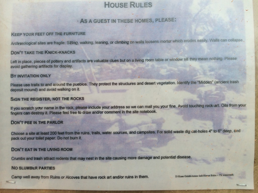
BLM Land allows boondock camping in this area but be sure to read the rules.
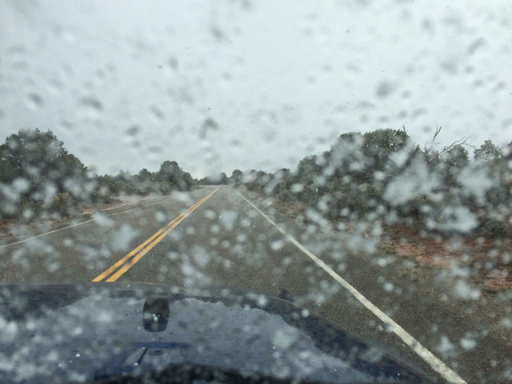
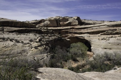
The first trip to the monument the weather was not cooperating. It rained, snowed, hailed and the wind blew hard most of the day. So our day was spent mainly driving in the jeep jumping out to take a picture or two. We spent time in the visitor center learning about the history of the bridges by watching their video and thumbing through some of the books. There would not be any hiking going on this first visit. We would have to return on a better day.
Snowing at Natural Bridges
Now on a much better day, we enjoyed the hiking, had lunch and of course, I lugged my 35 pound camera pack up and down the trails in search of that really special photograph. That’s an everyday occurrence.. (the lugging part) That special photograph I think will likely always be the one I’ll take tomorrow. Everywhere I look are unbelievable landscapes. I could never begin to capture the emotion of this place in a photo. Never. This is a must see, and must experience by taking the hikes, destination. It honestly takes several days to absorb it all. Another America the Beautiful National Park!
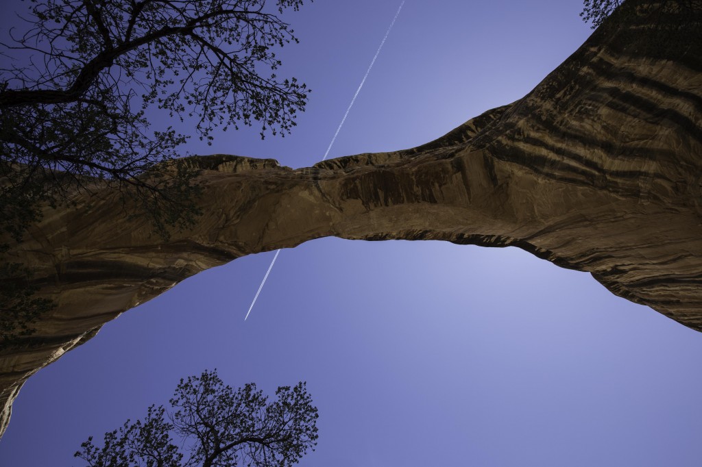
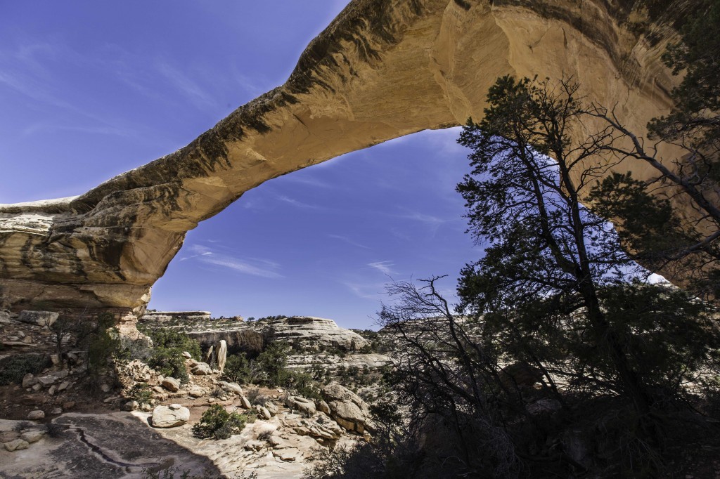
Jet trail over natural bridge
It is believed that people repeatedly occupied and abandoned this area from 9000 to 700 years ago. I find those numbers to be hard to process in my head! Only the rock art and tools left by those hunting small game and gathering plants, shows that humans lived here then.
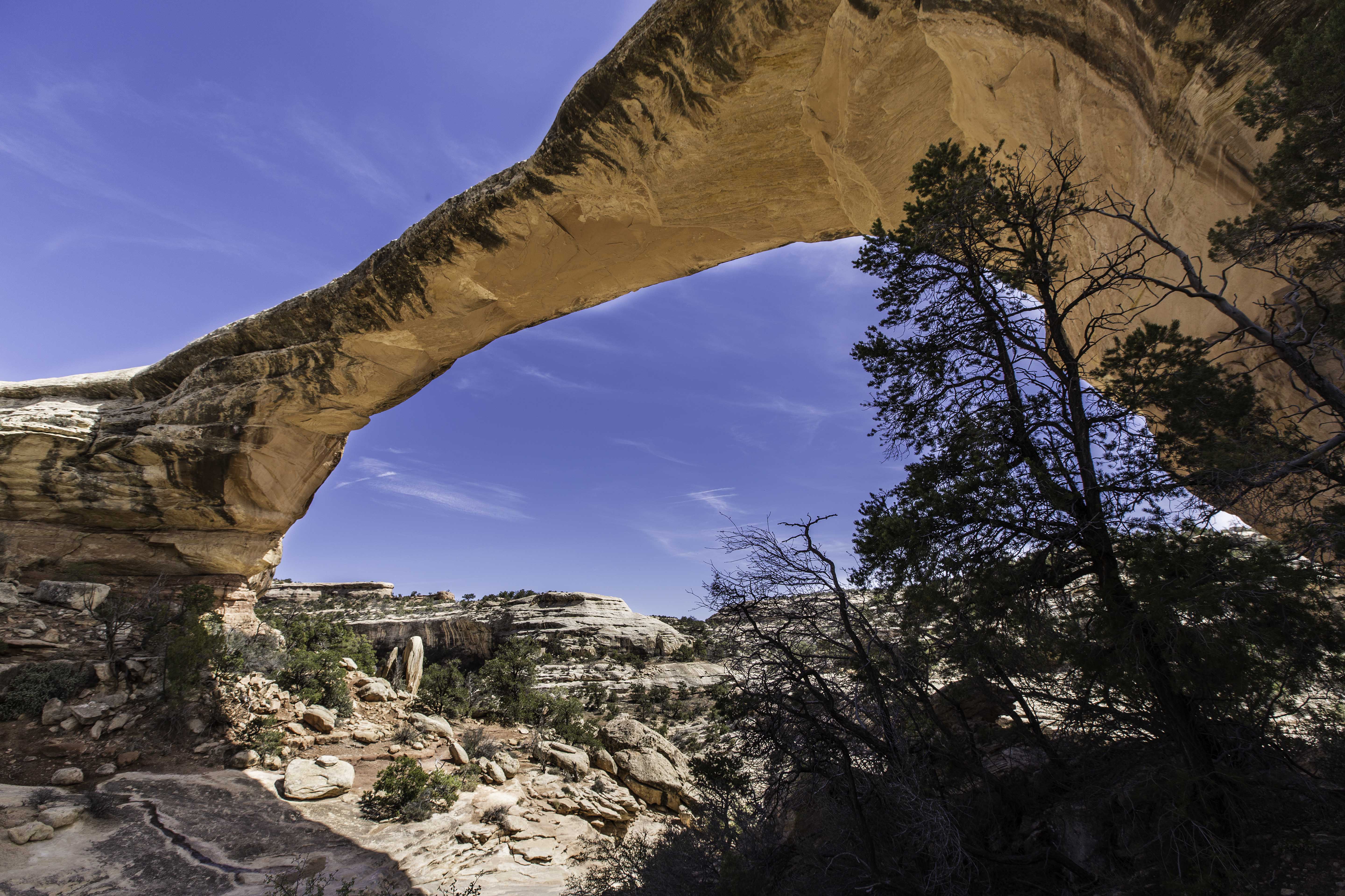
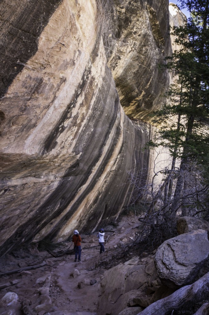
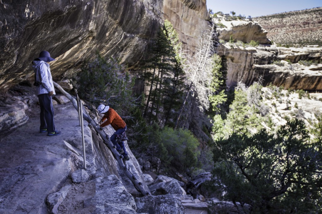
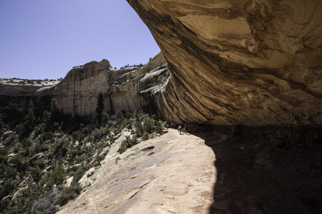
The second trip out to Natural Bridges was a perfect hiking and photo op day. We hiked all three of the trails to the bridges. Sipapu was the first hike. A mature bridge which you cannot see very clearly from the overlook. This one you must experience from below. The hike takes you over slick-rock sandstone, down a few ladders and steep descents into the canyon. It’s a height of 220 feet and spans 268 feet. It is 31 feet wide and 53 feet thick. This hike, except for the traverse under the lip of the canyon wall, is mostly in the sun. I’d recommend hiking this one before noon.
The trail to SipapuThe first ladder down the trail
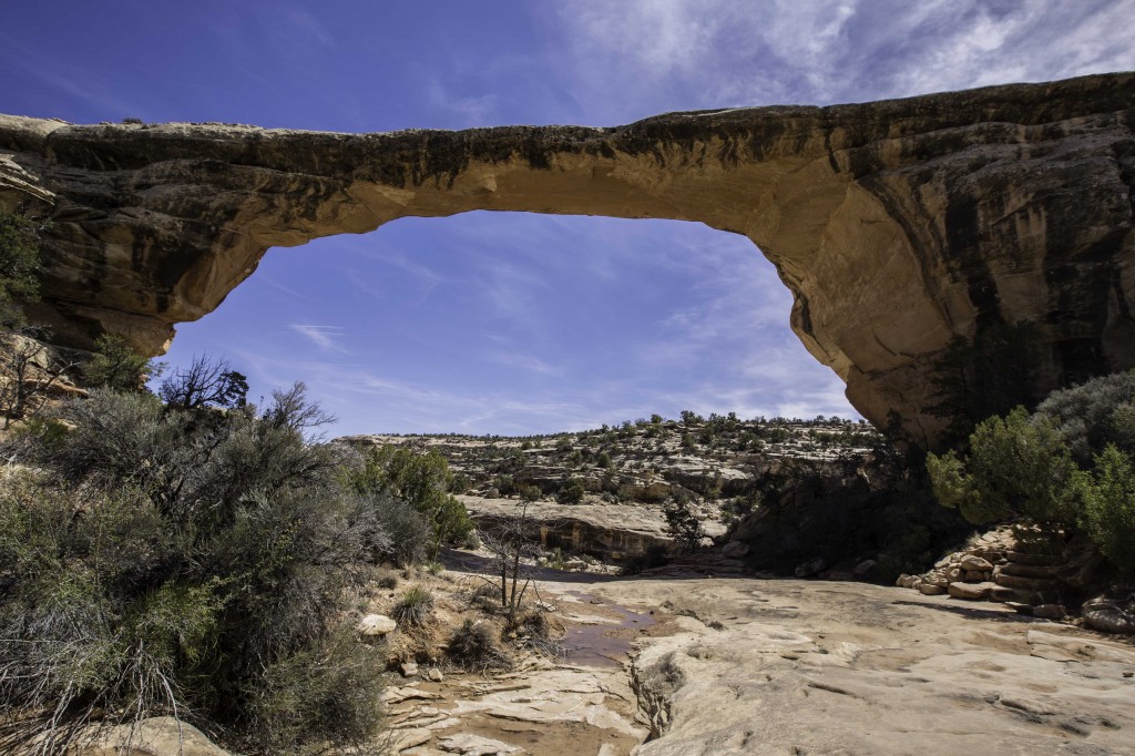
Under the rock ledge on the hike to SIPAPUThe view of Sipapu at the half way point on the trailSipapu Natural Bridge
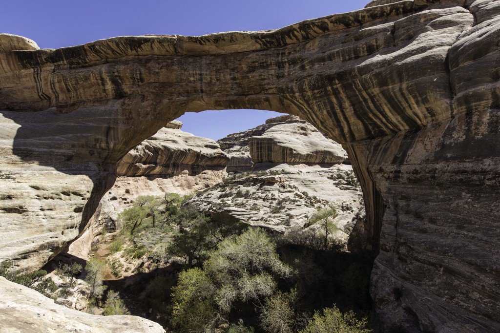
The second bridge is the youngest of the three called Kachina. It rises up 210 feet and the span is 204 feet. The real difference here is the thickness. It is 93 feet thick and 44 feet wide. Difficult to photograph and not as spectacular visually due to its smaller opening; but nature’s wonder nevertheless. Be sure to check out the rock art on the side of the bridge.
Kachina Natural Bridge
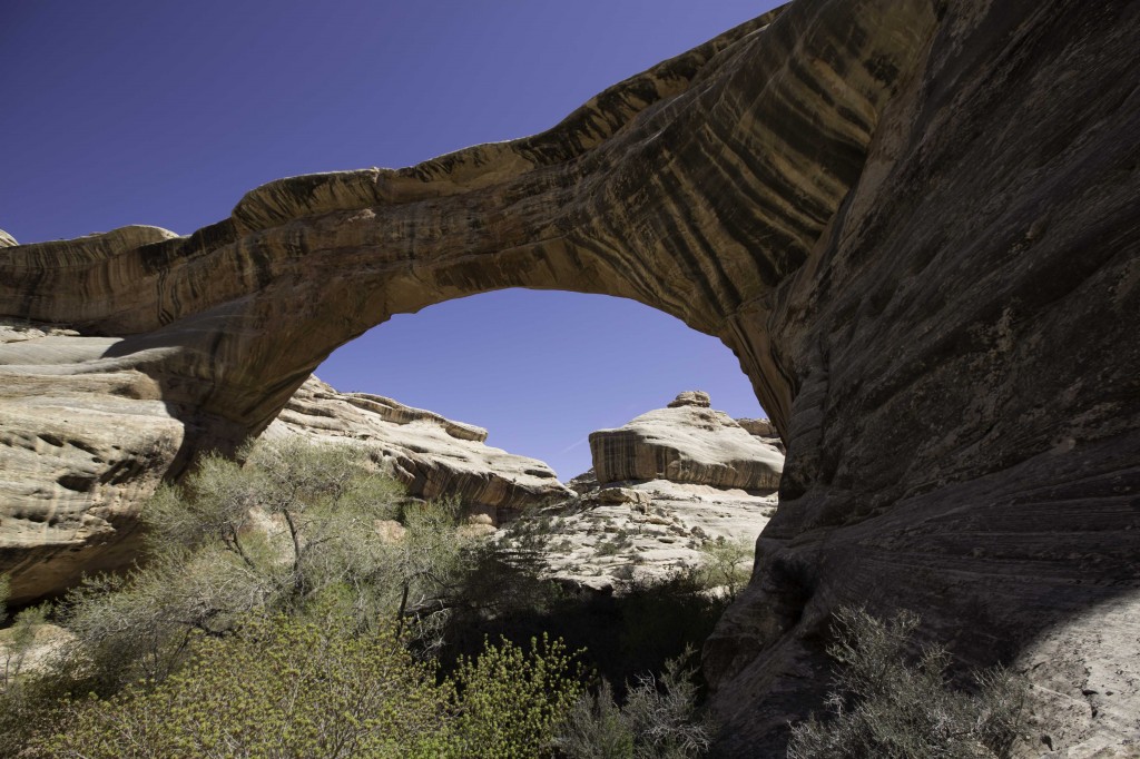
The third bridge is Owachomo. This is the easiest of the three hikes and doesn’t take very long to make the round trip. So if you are short on time, take this hike. This is a spectacular bridge. It is the oldest and since it is the thinnest and has a few cracks, it is reported to be the most likely to collapse due to the moisture that seeps in the cracks and freezes. It could however last for centuries longer.
Owachomo Natural Bridge
The three names are HOPI Indian names. Sipapu means “place of emergence”, Kachina is named for the Rock art symbols, and Owachomo means “rock mound”, a feature atop the bridge’s east abutment.
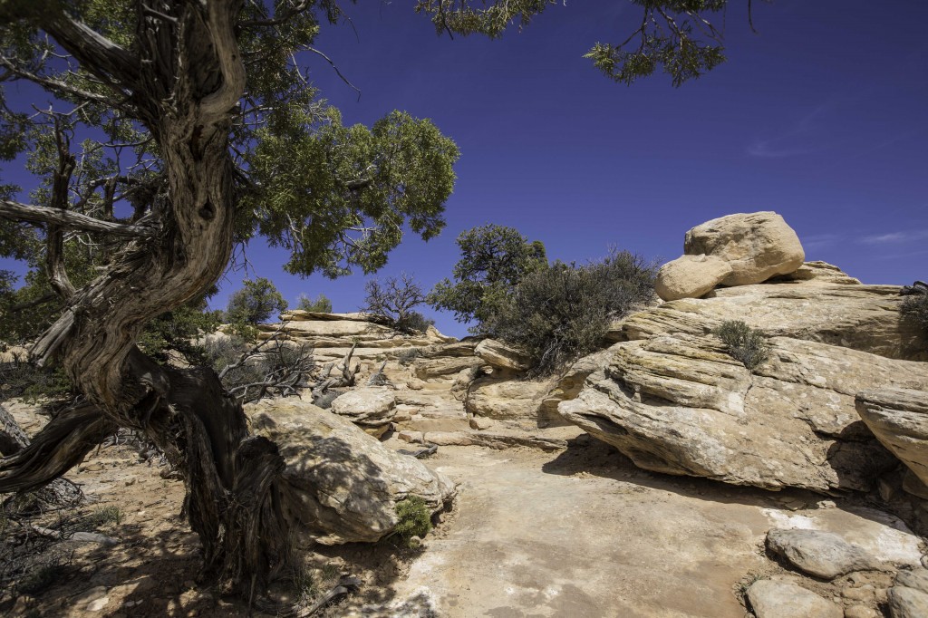
The Trail back to the parking lot from Owachomo Bridge
On the ride back to Blanding we took the route down the MOKI DUGWAY, a crazy gravel road that has some major switchbacks taking you down 2000 feet in approximately 5 miles. Do Not take a large RV down or Up this road… But Do take your tow car for an amazing experience.
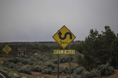
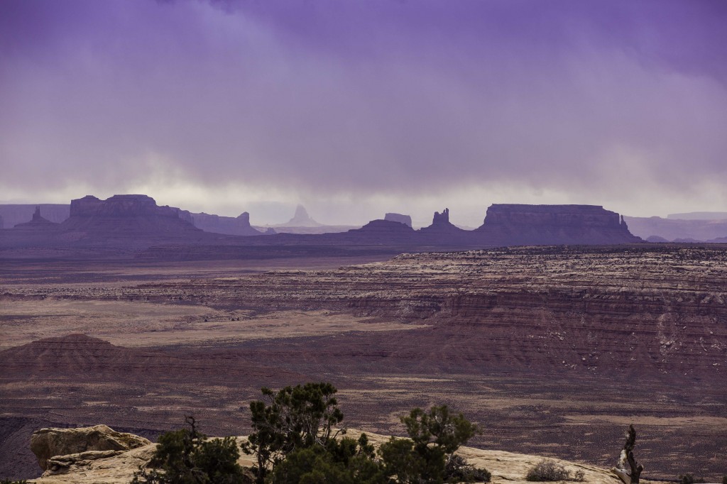
If you are coming up or going down this road, be sure to take the dirt road at the top to MULEY POINT. It’s about a 15 minute drive out to the point and when you get there, walk out over the sandstone rock to gaze at the landscape below you and the massive (more than) 180° view. On a clear day you can see the skyline of Monument Valley and the Valley of the Gods.
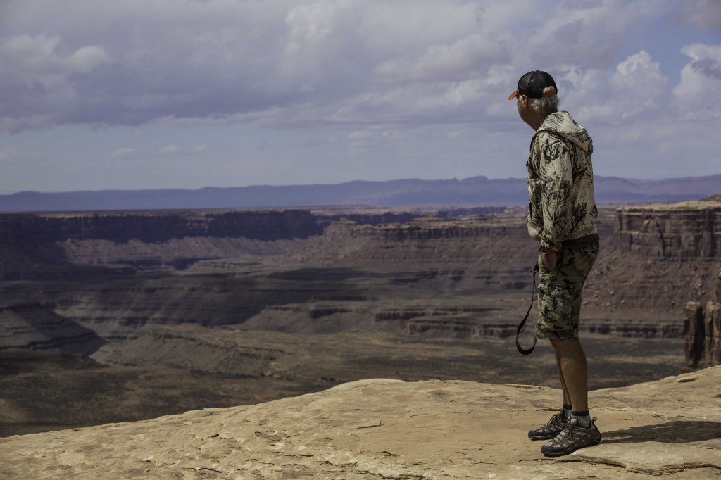
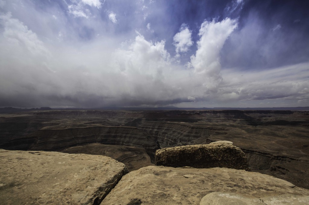
A stormy day at Muley PointThe edge of Muley PointView of Monument Valley from Muley Point
Camping on the Edge at Gooseneck State Park
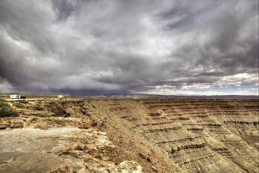
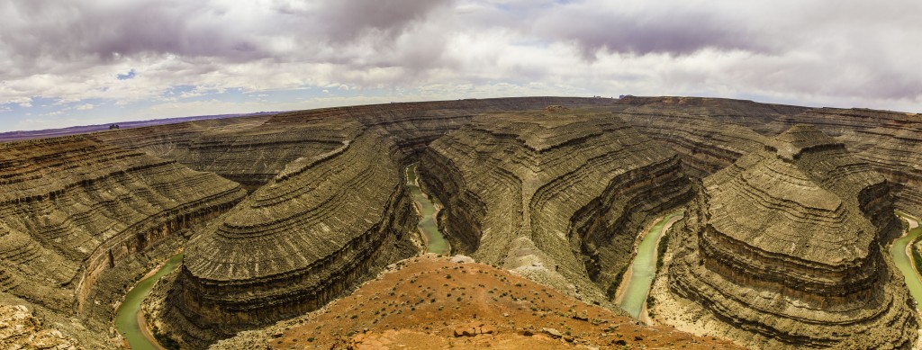
A stop or and overnight stay at Gooseneck State Park should be added to your itinerary. 9 miles n.w. of State Route 261. The view will take your breath away. Such unusual landscape after decades of erosion both wind and water. 1000 feet directly below you is the San Juan River, 2000 ft above you is Muley Point. The distance across the goosenecks is 1 mile, the river in that area covers 6 miles. The road out to Gooseneck SP is paved but it becomes dirt and rough as you enter the parking area. This is a Free boondock style state park without any services. You can camp right on the edge if you have no fear of heights or camp anywhere along the road, still giving you million dollar views in any direction.
This is the Million Dollar View, 1000 feet above the San Juan River
We are leaving Blanding and heading to Sand Island State Park near Bluff, Utah. There we will get better acquainted with Mexican Hat, Monument Valley and Valley of the Gods.