You are currently viewing COLORADO At Last

COLORADO At Last

We arrived in Montrose, CO and stayed the first few days at the Elks Lodge.
Is it Montrose or Mont-rose?  We’ve been told both ways.
The Elks has about 10 sites with Electricity and Water easily available for $15.00 a night.  There is an RV Dump at the Shell station North of town and the Fairgrounds has a dump facility that is very RV friendly and free. 
It was great to see our friends Tom and Joy (rightlaners.com) parked at the lodge too.  We arrived at lunchtime and after we parked the four of us headed to the local BBQ joint called JIMMERS.  We were about the only ones in the place and received great service and the food was excellent.
We were anxious to see the nearby mountain towns of Ouray and Telluride. We headed off to Ouray on our first day.  We were hoping to find a spot to put the motorhome (the Roadrunner) for a few days.  Most places were booked for weeks but we got lucky and managed to snag a spot at J+1+1 RV park in Ouray starting in 3 days.
View from our camp
OURAY!  How is that pronounced anyway?  We have heard to many different ways.  Chief OURAY  (ooo’-ray) born in Taos NM in 1833. Chief Ouray was a Native American chief of the Tabeguache (Uncompaghre) band of the Ute tribe, in Western Colorado.   The town was named after him. He died in 1880.
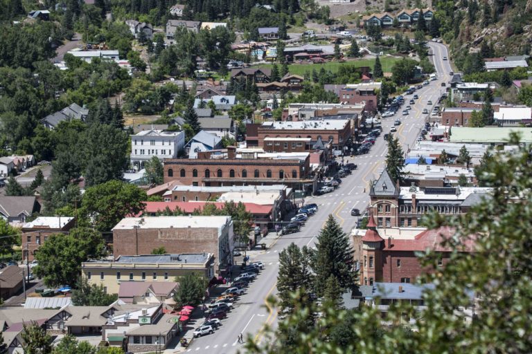
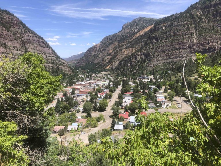
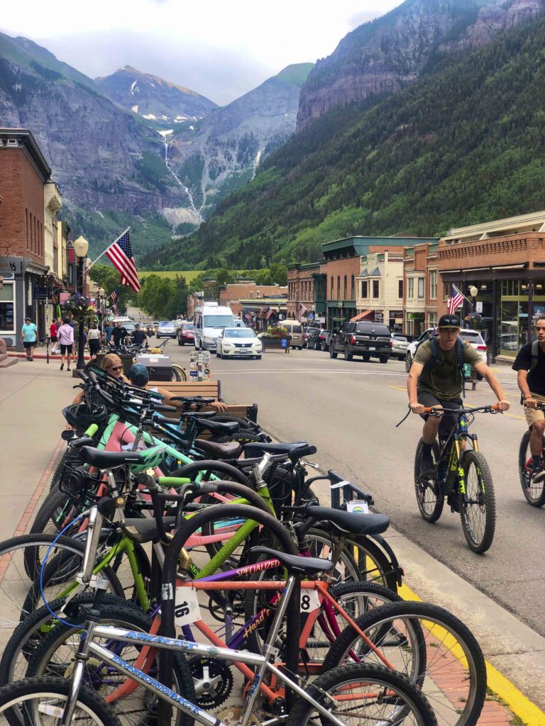
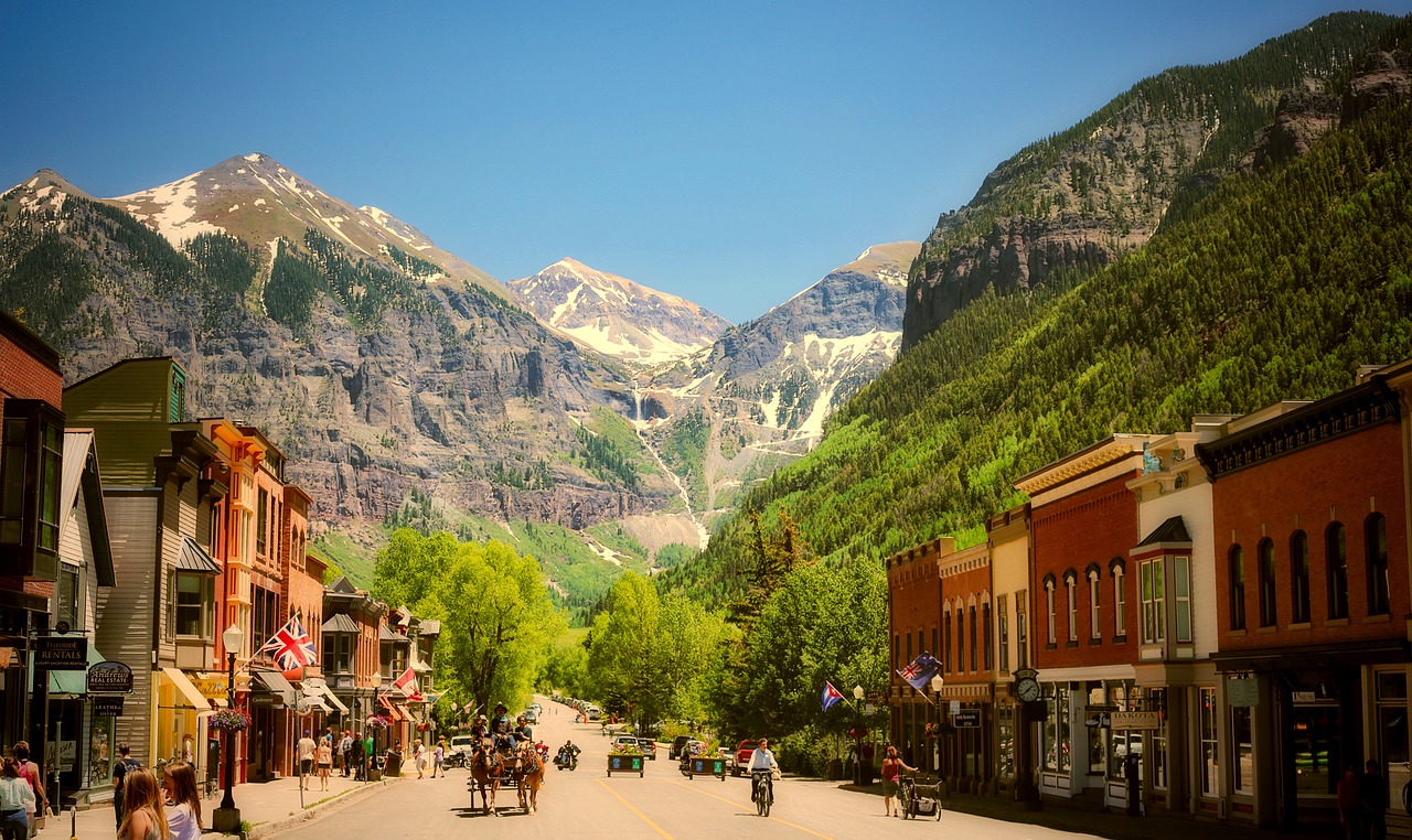
Ouray… there are many pronunciations of this name. It depends who you talk to or what website you are looking at. Some swear it is OOO-ray, you hear YOU-ray , O-ray, Yer-ray or we also heard it you-RAY.   So say call it whatever you want, but call it beautiful for sure.  Surrounded by mountains at the base of the Million Dollar Highway.
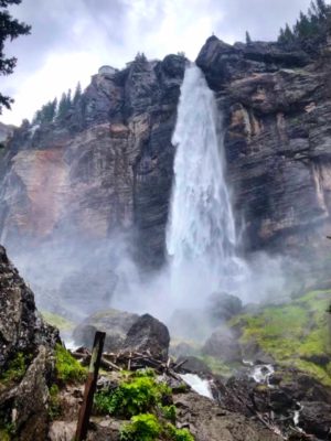
Uncompaghre, the river that flows past Ouray, loosely translates to “dirty water,” “red lake,” or “red water spring” and is likely a reference to the many hot springs in the vicinity of Ouray.
Ouray town
When we got parked in Ouray, we were greeted by our friends Mark and Patsi who drove up from Durango for the day.  It was lunchtime and we all headed for the OURAY BREWERY for a sandwich and a locally brewed cold beer.  We haven’t seen each other since January, so we had a lot to talk about, but not enough time.
Ouray from Highway 550
Our next trip was to TELLURIDE. Most say Telluride is named after tellurium, a nonmetallic element associated with rich mineral deposits of gold and silver.
Originally it was called Columbia when it was founded in 1878, but the postal service kept confusing it with Columbia, California, so the name was changed in 1887. Now, some say the name stems from “To hell you ride,” a warning about the treacherous mountain journey miners embarked upon to reach the remote town.  Many Colorado towns seem to have various ways to pronounce them, and a colorful story to go along with the name.
We ate lunch at a cafe with sidewalk seating and we kept looking up the mountain at the beautiful Bridal Veil Falls.  Since it was a nice day and we had the time we took the jeep trail up to the base of the falls.  
Bridal Veil Falls and the Historic Power plant
This is Colorado’s tallest freefalling falls at 365 feet. The trail is about 2 miles to the base of the falls which shares the road with jeeps and other OHV’s.  This road is the final portion of the famed Black Bear Trail. If you are hiking, you will find less vehicle traffic during the early part of the day. This is because the Black Bear Trail above the power plant is a one way route starting from Highway 550 at the  Red mountain Pass.
The elevation gain of the trail is 1350′ to the base of the falls.  Plan on getting wet. As the falls hit the rocks it sends out a mighty blast of fine mist. 

Next, taking a side trip to Silverton along the Million Dollar Highway