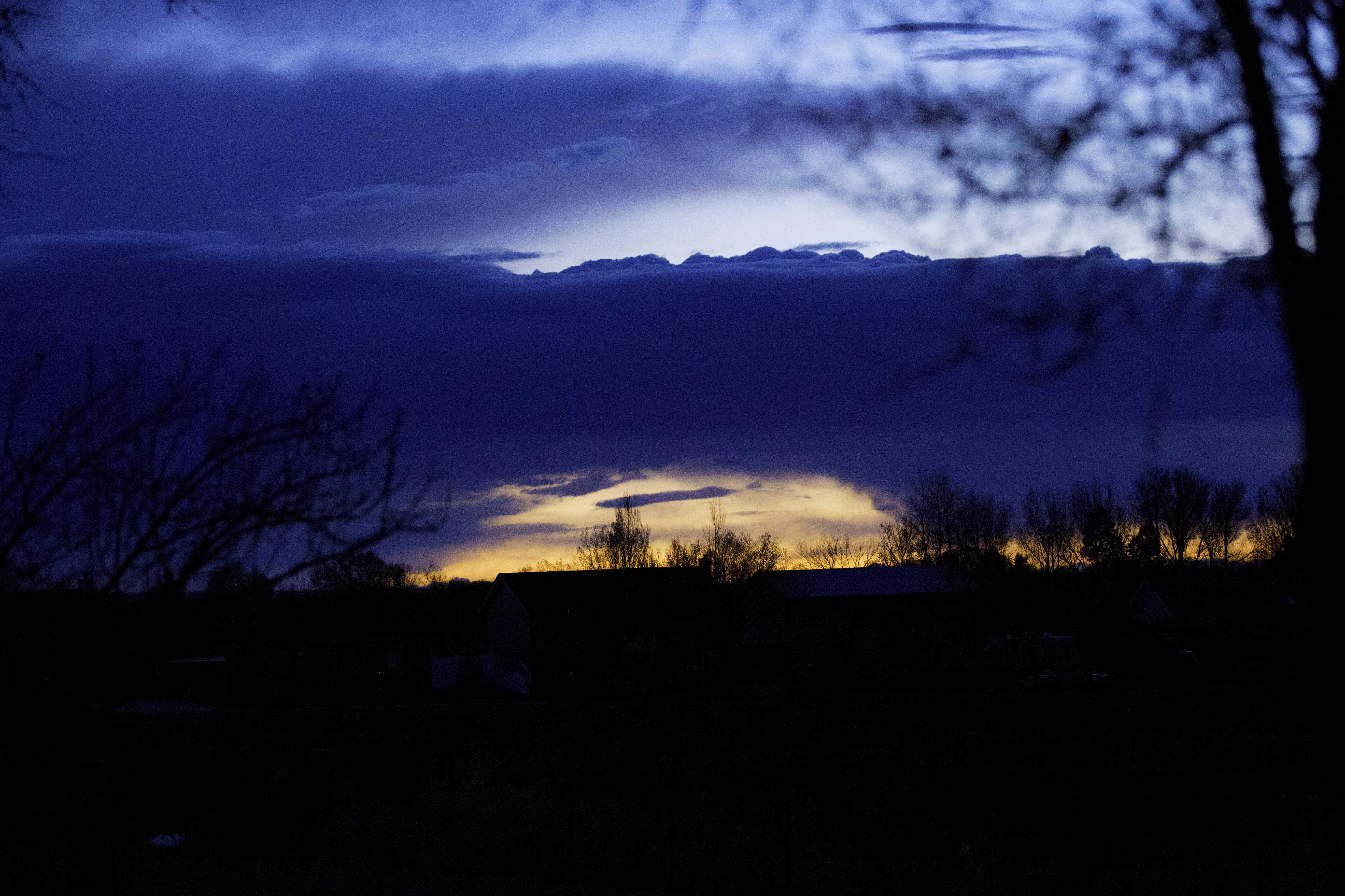
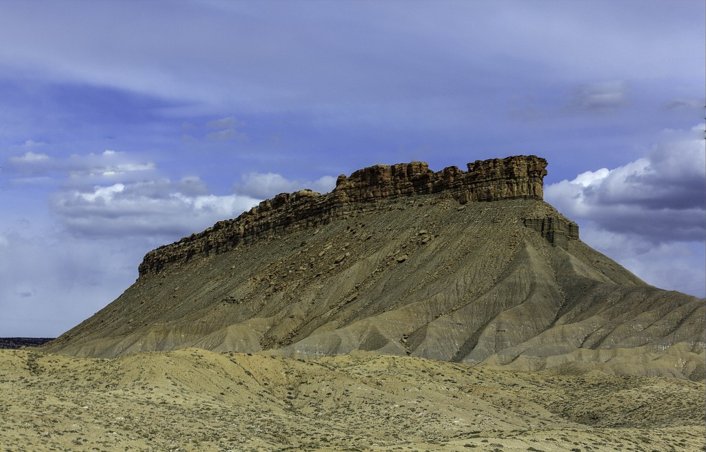
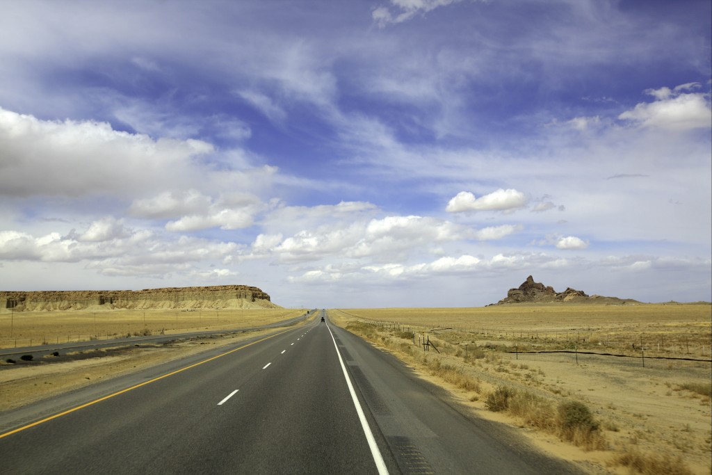
We spent one night in Holbrook, AZ, and planned to head north to Canyonlands on highway 191. But the morning of departure we looked at the map and decided to move on to Gallup, NM and then up highway 491 to Cortez, CO. These last minute decisions are not unusual for us. We usually travel by the “seat of our pants” because making advanced reservations is akin to a schedule… A schedule is what we prefer to avoid. Sometimes that can end up being a problem when you find yourself in a popular area, no boondocking available or allowed and private parks are full. This area around Cortez is loaded with history and amazing ancestral dwellings.
We found a nice RV Park in Cortez, “La Mesa RV”, that offered Passport America, Escapee, Senior and Good Sam discounts (select one 🙂 The manager/owner, Shiree is not only delightful, she offered a great deal of information about landmarks and restaurants and those places only locals know about. This was a perfect location for our base-camp for all the places that were a “must see” on our list within 50 miles of Cortez. When you are in Cortez be sure to check out this RV park first. Close to shopping and historic downtown and not more than a mile down the road is a very nice city park with a huge dog park attached.
Our stops included:
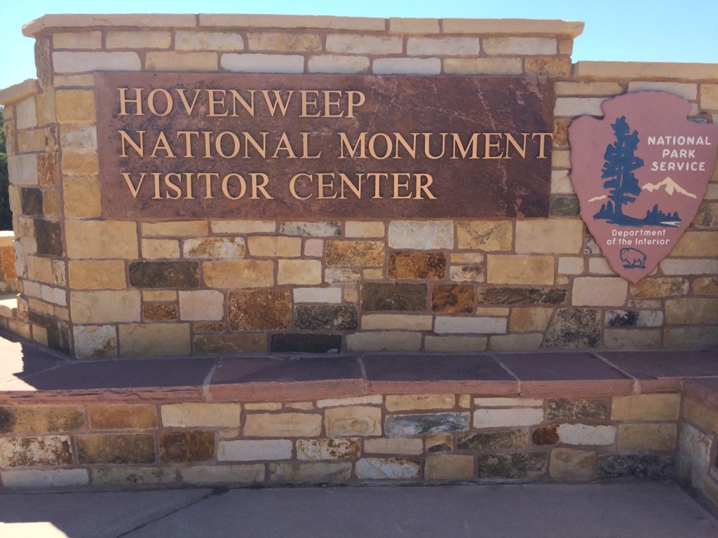
Hovenweep National Monument
Mesa Verde National Park
The Anasazi Heritage Center
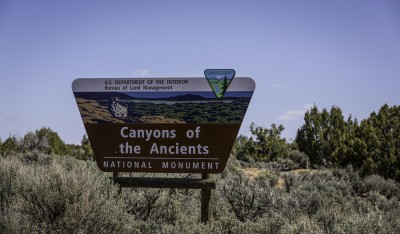
Canyons of the Ancients National Monument
Sand Canyon & Rock Creek Trails
The Cortez Municipal Airport
The Towns of Delores and Mancos, Colorado
First thing in Cortez is go to the Visitor Center on Main Street. The volunteers here have so much information. They will help you get the most of your visit here. If you only have a few hours or a day there’s an itinerary so you make the most of your time. For us we ended up with a week here and actually could have stayed a day longer to go to Durango.
Anasazi Heritage Center:
First stop was the Anasazi Heritage Center and Museum. This was one of the Best museums I have seen displaying artifacts and information about the “Ancestral Puebloans”. Now this was a new term to me. The name Anasazi, which I was familiar with, is not used so much anymore. This was the term used for the prehistoric farmers of the Four corner area. I will continue to refer to these ancestral people as Anasazi’s. I know there is a new cultural correct way to refer to them and I will leave that up to the reader to decided.
This is what has been written lately about the name Anasazi:
A thousand years ago, when their civilization arose in the Southwest, the people who built these great stone structures did not call themselves Anasazi. The word did not even exist: It was created, centuries later, by Navajo workers who were hired by white men to dig pots and skeletons out of the desert. It’s a word that recently has fallen out of favor.
What is wrong with “Anasazi”? For starters, it is a Navajo word unrelated to any of the Pueblo peoples who are modern-day descendants of the Anasazi. But more than that, the word is a veiled insult.
So many archaeologists and media outlets have turned to using “Ancestral Puebloans,” an expression that is rapidly gaining popularity. But the modern Pueblo tribes trace their ancestry to nearly all of Arizona, and as far away as the Mexico City region — far beyond the Colorado Plateau where the Anasazi once lived.
Using any single, overarching name, politically correct or not, is simply misleading, because it reinforces the notion that the Anasazi were one distinct group of people. And that is just not true: The archaeological record and reports from living Puebloans reveal myriad ethnicities occupying the Four Corners a thousand or so years ago.
Ok, Back to the Museum. Here you will not only look at Hundreds of artifacts found in the outlying areas, but you can interact with some of the displays. Several microscopes are available in the museum to look at real samples of pottery, fiber, and rocks. Baskets, sandals, pots, tools, and murals all found in these ruins by archeologists or donated from private collections. This is a museum you can easily spend an hour and a half visiting. It’s very much a “hands on” museum.
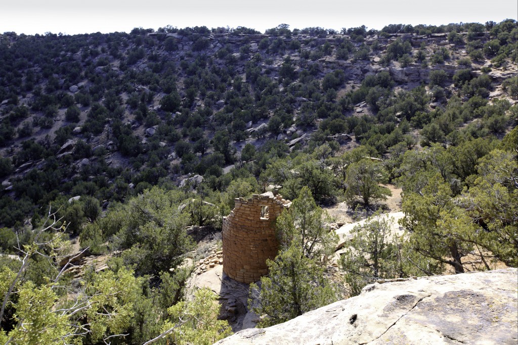
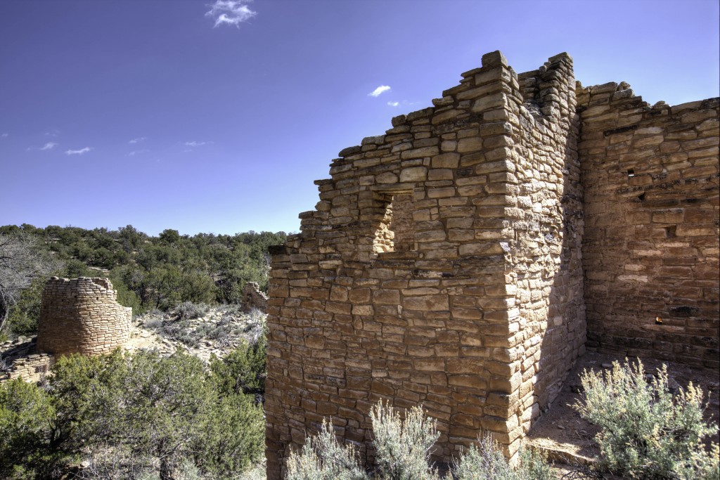
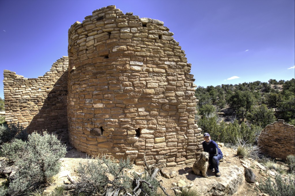
HOVENWEEP NATIONAL MONUMENT
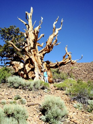
The next day was an all day trip leaving Cortez in the morning driving to Hovenweep. I’d suggest taking the Square Tower Group trail first and then stopping and hiking at all the ruins along this route. Be sure to ask for the hand drawn map to the “not so popular” ruins in this area either at the Visitor Center in Cortez or at Hovenweep. The detours off the main road and subsequent hikes to each group is well worth it. This is The Canyons of the Ancients National Monument.
There is a nice campground at Hovenweep, call ahead to the ranger station for availability. There are only 4 or 5 of these spots that can accommodate rigs at 38 feet and they don’t take reservations. The Campground brochures indicate a maximum of 35 feet.
There is a loop from Cortez, (Road G, south of town, takes off from highway #491 near the airport) that will take you through the McElmo Canyon, on to Hovenweep and then continue with stops at ruins in the Canyons of the Ancients National Monument on Road 10, continue to road CC and take in the Lowry Pueblo, then out to Highway 491 at Pleasant View and south back to Cortez. Plan to spend the WHOLE DAY! This is a complete tour of these ruins. Be sure to fill your gas tank up before you leave on this loop tour. There are no services until you return to Cortez, or Pleasant View.
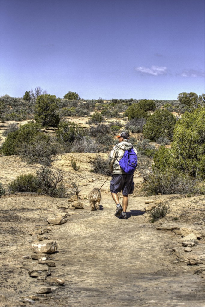
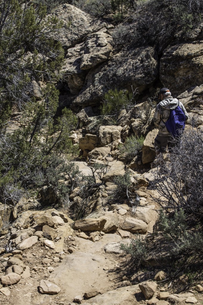
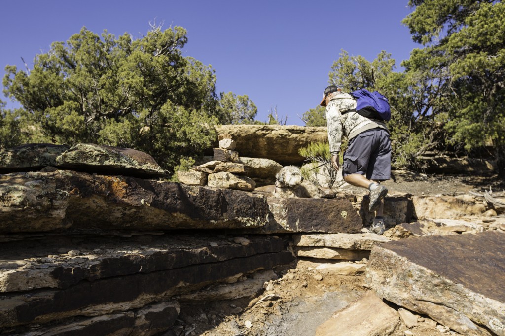
There is only one road that would require a high clearance vehicle and that is “The Cutthroat Castle” Don’t take this trip unless you have 4-wheel drive and high clearance, seriously. The hike distance to all the other ruins from each parking area varies from .05 mile to .25 mile on uneven terrain. Pets are allowed on these trails on leash. I clocked in over 13,700 steps for this day, most of it on trails in and out of the ruins.
There is really so much to see here. I really can’t begin to show it all in this blog. Picking a few photos is a challenge, so be prepared for more photos and information that you might want in one blog.
The visitor center at Hovenweep is small, mainly this is a place to check on the conditions of the trails and pick up maps, brochures and get your passport book stamped.
It’s an easy two mile self-guiding loop trail around the Square Tower group. At one point you descend around 80 feet into the small canyon and back up the other side. Now for my photos and descriptions of this amazing place.
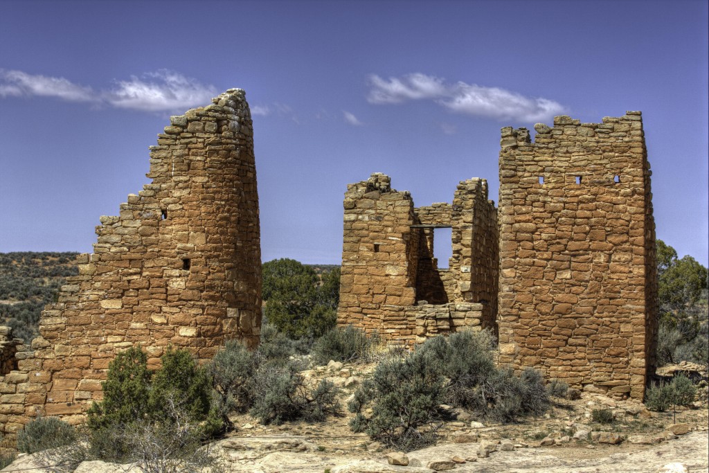
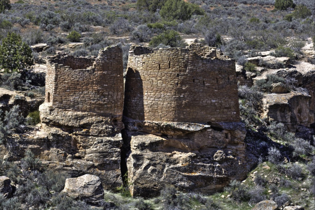
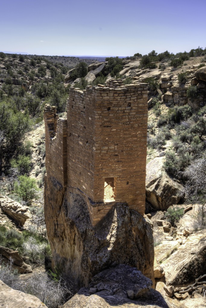
Hovenweep Castle
Most of these dwellings were constructed from A.D. 1230 to 1275. this is about the same time as the cliff dwellings at Mesa Verde. This area is part of the GREAT SAGE PLAIN. “Hovenweep” is a Ute/Paiute word meaning deserted valley. Hovenweep was designated as a National Monument in 1923. Hovenweep Castle consists of two D-Shaped towers set right on the rim of the canyon. The rings from one of the beams in the tower indicates that the log was cut in A.D. 1277. Although named a castle, the people who lived here were simply farmers.
Eroded Boulder House
Hovenweep Trail
Twin Towers Ruins
Twin Towers had 16 rooms. The smooth design of these towers are constructed so straight and nearly touching, built on native bedrock hanging off the side of this ravine. One is oval and the other is horseshoe shaped.
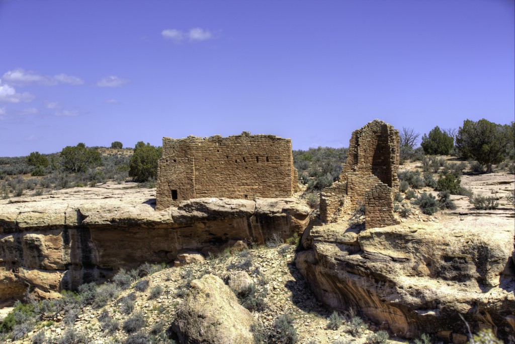
Hovenweep House
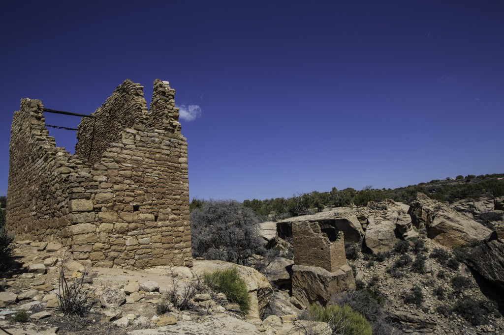
Square Tower
Square Tower is two stories tall, situated on a large sandstone boulder.
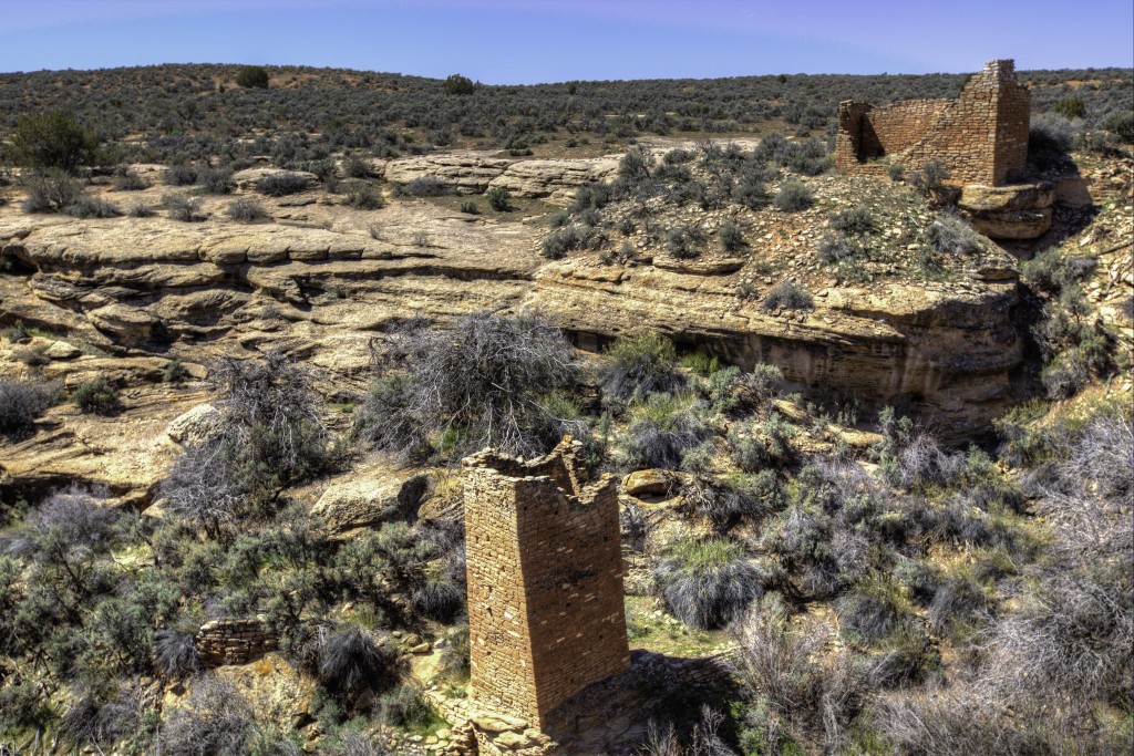
The trail into the ravine on the Square Tower Loop
The next stop is Holly Group. From Hovenweep Visitor Center take the main road 10, North for 4.3 miles to a dirt road leading to the right. Approximately 1.7 miles you will enter a small parking area where the trail to Holly Group begins. Note: There is a trail, if you want to hike to Holly Group from Square Tower, it is an 8 mile round trip.
Here are a few of the amazing ruins you will find here.
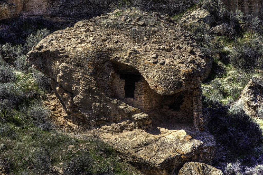
Holly Group Ruins
Imagine the people who build this structure, so straight, so tall and built upon a sandstone boulder in the ravine. These people had no tools, just their hands, rocks, sticks and not much more to work with and yet they created such amazing structure to last hundreds and hundreds of years. This is Holly tower.
The group was named after James Holly who ranched and traded in this area in the late 1800’s. The canyon was abandoned around A.D.1300.
Holly Group
On the drive back to the main road, stop at the signs for Horseshoe and Hackberry Group and hike about .05 mile to these ruins.
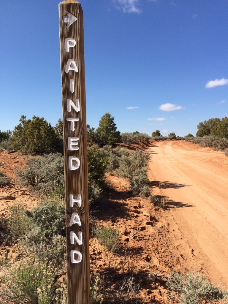
If you left early enough in the day you will have time to continue to drive on to the PAINTED HAND, then to the LOWRY PUEBLO, before returning to Cortez. Painted Hand is a fairly steep hike down the edge of the canyon. The trail is basically Rocks and then shale, down to the ruins.
PAINTED HAND: Is located on a dirt road to the right 4.0 miles North of the Holly Group Road.
The trail out of Painted Hand is a lot of Rocks
Painted HandTop of Painted hand Trail
Now if you continue along this dirt road from Painted Hand to the CUTTHROAT GROUP, be sure you have a high clearance vehicle preferably 4 x 4 , especially if it has recently rained. The road turns to stone, actually shelves of stone in places. Check at the visitor center for road conditions. You then have to return the same way you went in.
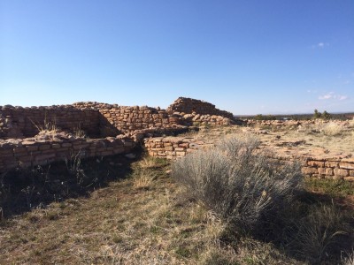
CUTTHROAT GROUP
Cutthroat Ruins
Cutthroat Group
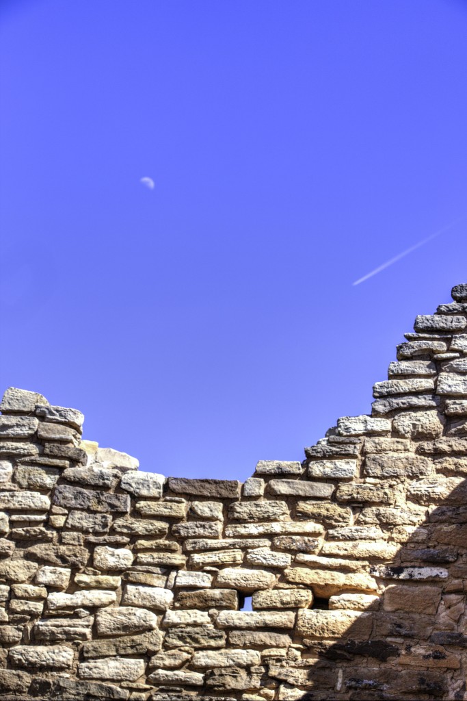
Moon and Jet over the Ruins
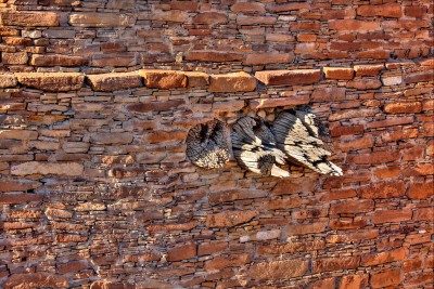
LOWRY PUEBLO, follow your map to the end of the road 10 and take a left to Road CC, follow it to the end and you will see signs to this very large Pueblo.
You can find more information here on the BLM website.
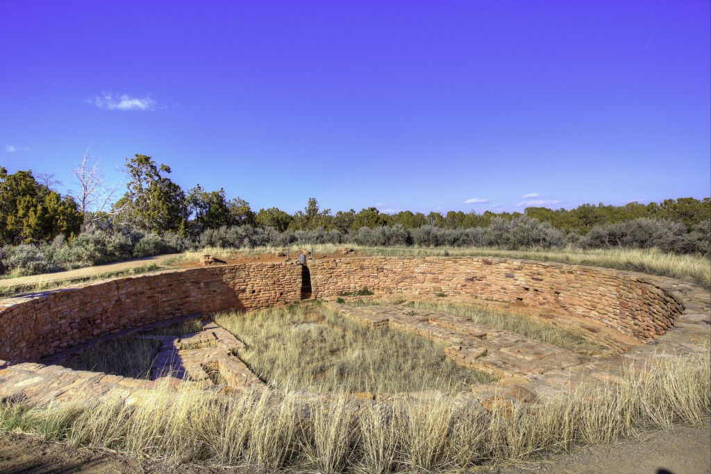
Kiva at Lowry Pueblo
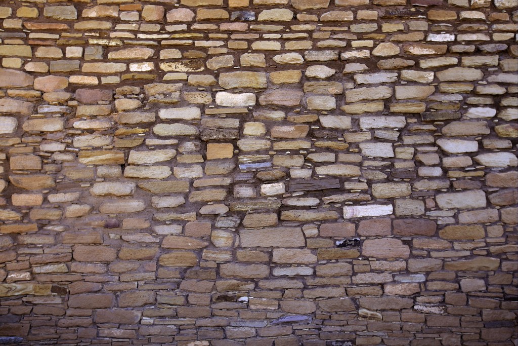
The Wall at Lowery Pueblo
LOWRY PUEBLO
We returned another day to take the trail to the Sand Canyon Pueblo. There are two ways to see this canyon and ruins. One is a 6.5 mile hike from City Road G or about a .25 miles hike from the parking lot off City Road N to the beginning of the trail. We opted for the shorter hike. This was a very large pueblo built about A.D. 1250. By A.D. 1275 this pueblo was three times the size of Cliff Palace (the largest pueblo in Mesa Verde Nat’l Park) Some 600 people had lived for a generation or more within this village. The trail will lead you completely around this village. Take the map of the pueblo’s layout with you to understand what you are looking at. There are, however, several plaques with maps and descriptions along this trail. It is believed that a severe and long-term drought caused crops to fail and later many villagers migrated to find better conditions. For the past 700 years, however, the only occupants of this pueblo are the spirits of the ancestors.