Up the Cassier Highway
Jacks up and Wheels turning, we are heading up the Cassier Highway with our sites set on Watson Lake, Yukon Territory. We’ve had a reasonably smooth ride, a bucket load of mosquitos on the front of the rig and a bullseye from the rock outside of Smithers is a small price for the beautiful scenery we have seen so far in British Columbia.
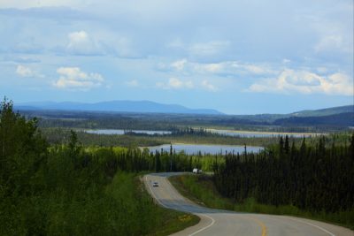
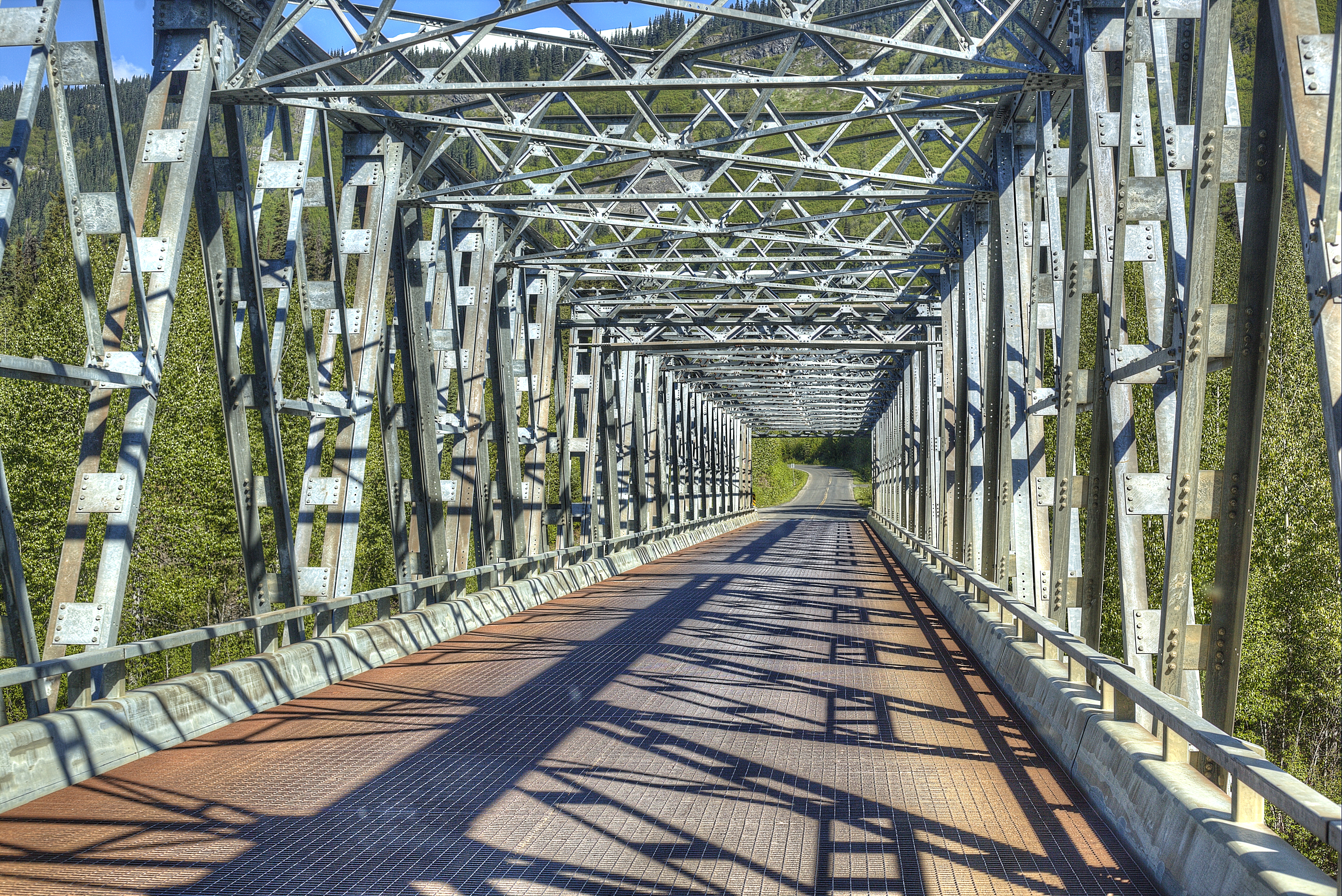
The road is beginning to deteriorate the further north we go. However, even with the short spans of graveled areas, they are still not as rough overall as roads in California, especially Southern California. The worse sections were from the Stikine River Bridge to Lower Gnat Lake with several patches of gravel and potholes. This stretch of the road gives me the first indication that we are very far from “anywhere.” I haven’t felt that until now. Many miles of road, with or without shoulders, Bridges made of wood and bridges made of steel and we continue to roll along. In the Gnat lake area, a beautiful spot, we were warned of Caribou crossing the road in various places. We didn’t see one and didn’t see a favorable overnight spot here either.

Traveling on the Cassier is one fantastic Mountain range after another. Many of the mountains are towering over deep blue lakes. Through our travels, I often compare the lakes I see to Lake Tahoe in the California/Nevada area. I used to live at Lake Tahoe and felt that lake was the most beautiful. Now I must say that the lakes in British Columbia are more impressive than the lakes in the Sierra Nevada.
There is absolutely no cell service on the Cassier from Stewart to Watson Lake on either AT&T or Verizon even with a booster. So once again our friends have to rely on our SPOT locator to know if we are moving, stopped for the night or having a delay due to mechanical issues.
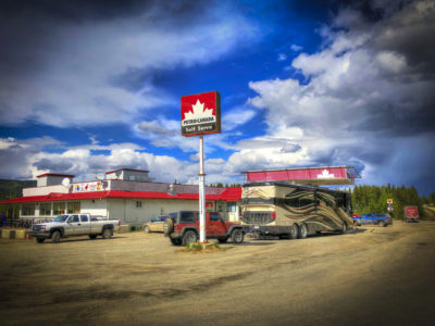
Dease Lake is a wide spot in the road, but at that wide spot you can refuel, get groceries or get a hot lunch at Nympha’s, Food Shack. Dease Lake is where we spent the Most on Diesel. Lucky it was only to top off the tank not fill it. It’s 146 miles of no services to Watson Lake, so it’s best not to pass up a fueling stop. Diesel here is $1.54 per liter ..gulp