Our next stop in our quest to follow the pioneer trail through Wyoming is Independence Rock.
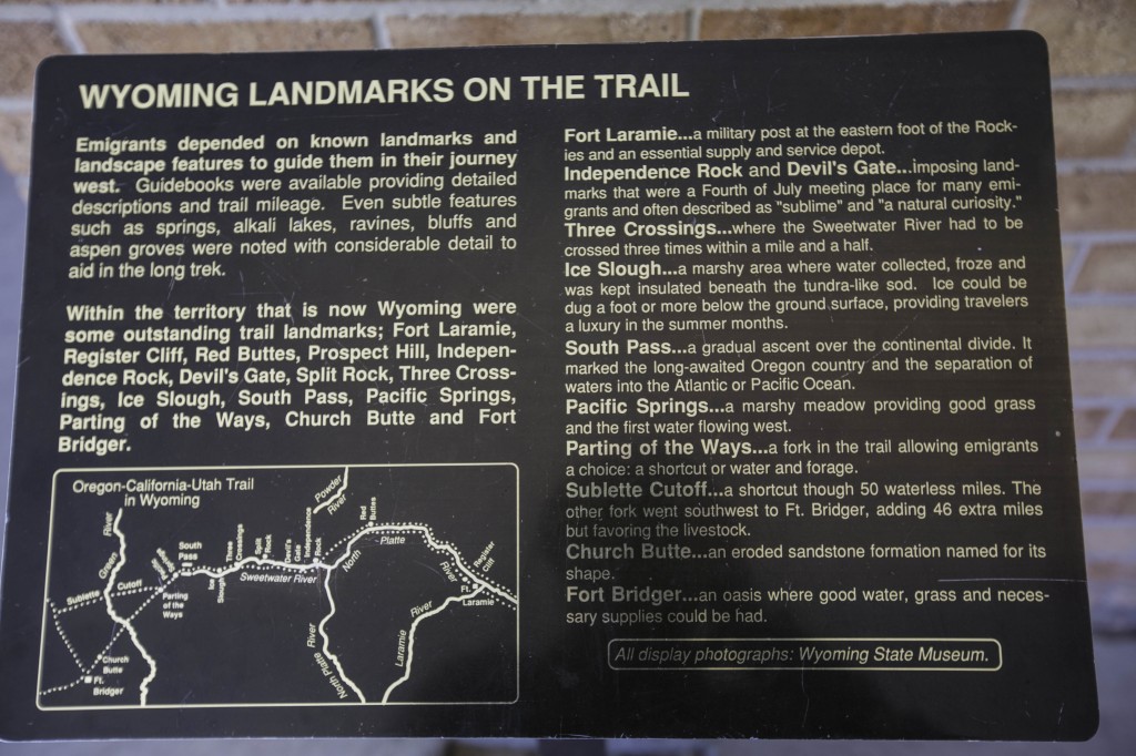
After the emigrants left Fort Laramie they made their way to Independence Rock a significant landmark as all the Trails, Oregon, Mormon, and California as well as the Pony Express passed this landmark. To shorten the trip the emigrants made nine river crossings before reaching Independence Rock.
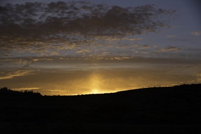
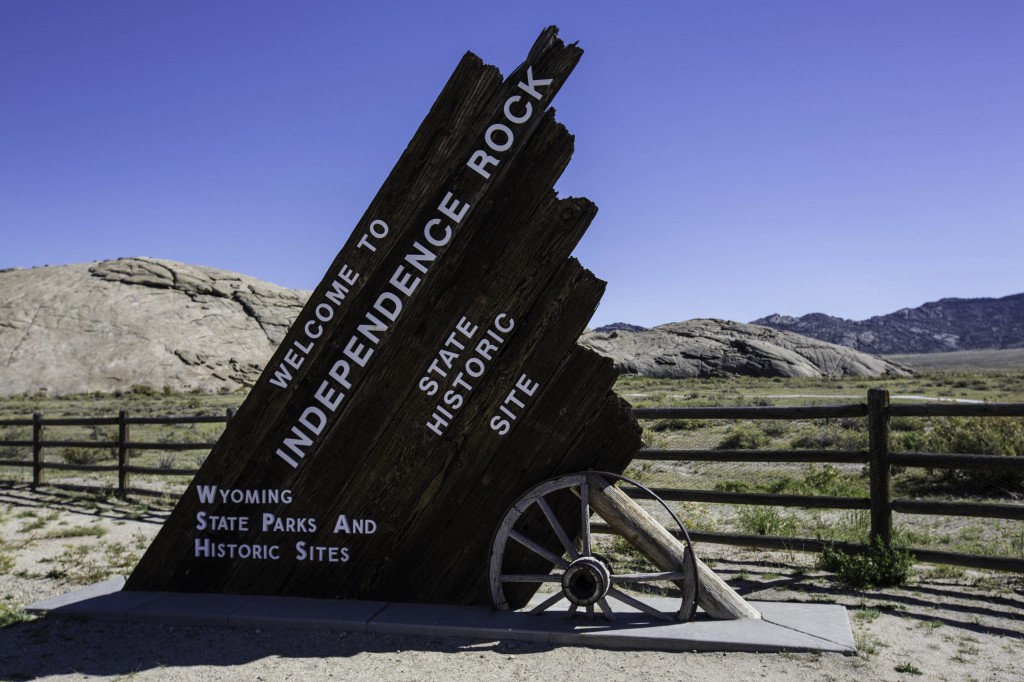
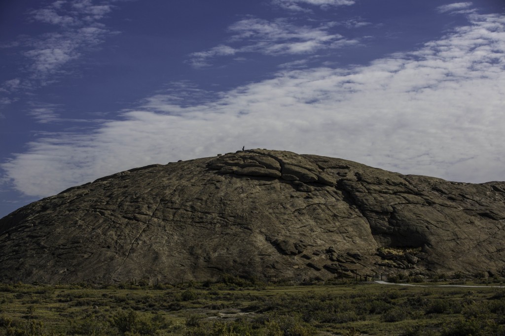
Today Independence Rock is a National Historic Site located off Highway 220 between Casper and Muddy Gap, Wyoming. There is a large travel stop there and plenty of parking for large rigs. However, no overnight parking is allowed. We arrived here late in the afternoon; too late to do any hiking before it got dark, so we decided we would rise early and so some extensive hiking around and over the rock in the morning. We parked about 5 miles West and spent the night at Martin’s Cove. Early the next morning at sunrise we took the jeep and headed to Independence Rock.
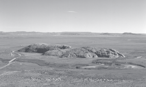
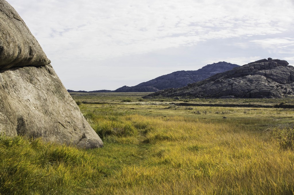
Independence Rock a large granite rock 130 feet high and 1900 feet long 850 feet wide.
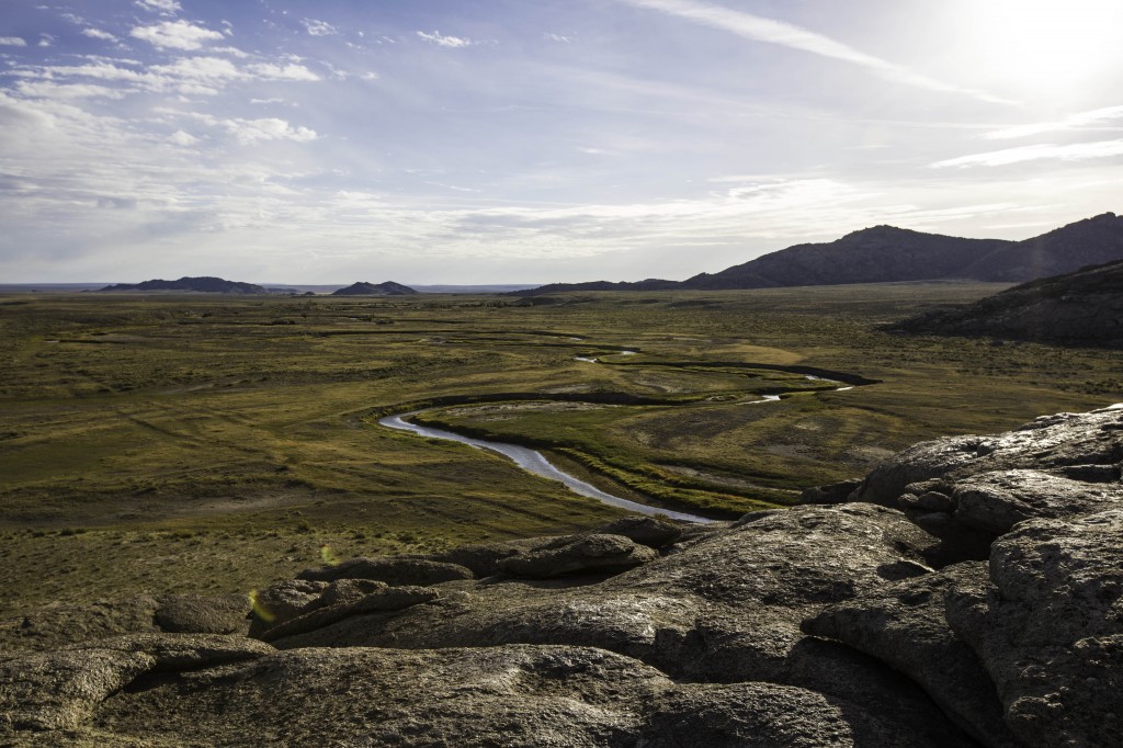
Here is a view from the air:
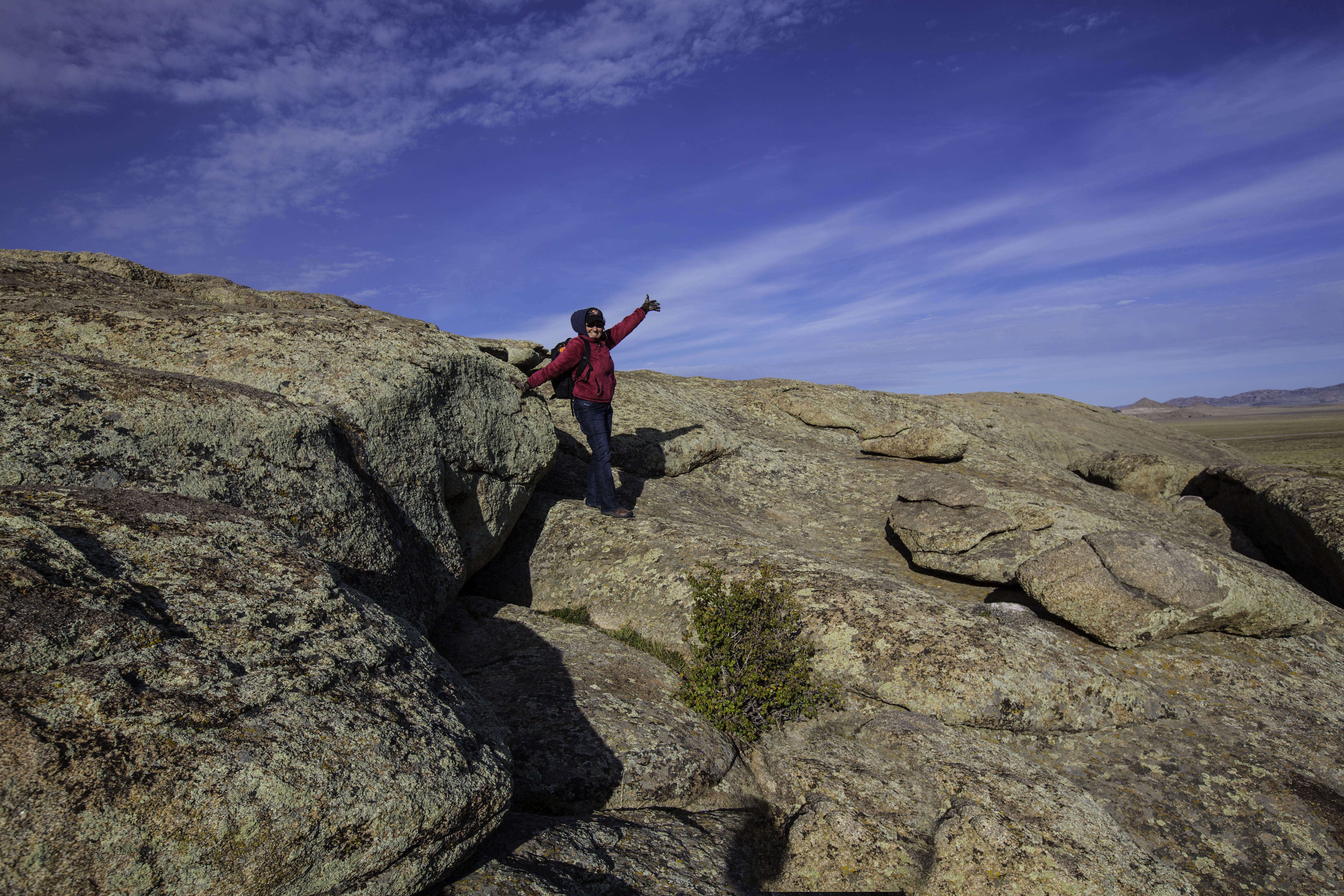
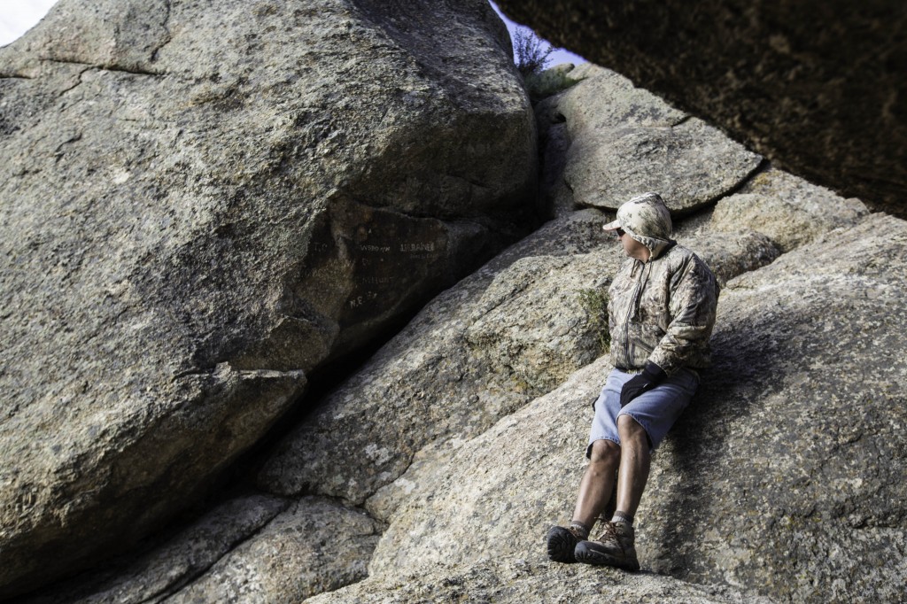
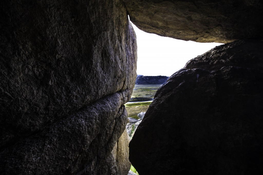
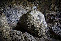
We spent several hours walking entirely around this giant rock. Then twice climbing to the top in two different locations and along some of the edges searching for the rock cave of shelter where there are signatures of the pioneers carved and also written wagon grease. It was a VERY windy day the day we were there. At some points as we found ourselves along steep edges of this rock, the wind would be almost more than we could handle. It was cold even though the sun was out. I couldn’t help but think about how it must have been for all those determined travelers. Here I was wrapped in layers of clothing, warm boots and gloves feeling pretty comfortable except for the power of the wind in my face. What about those women in dresses, carrying babies and men walking through the rivers several times in just a few miles. They also had minimal provisions. How did they feel? But according to some diaries, they were so happy to make it to this landmark they celebrated in dance. What they had ahead of them would be almost unbearable to think about, much less walk another 1000 miles.
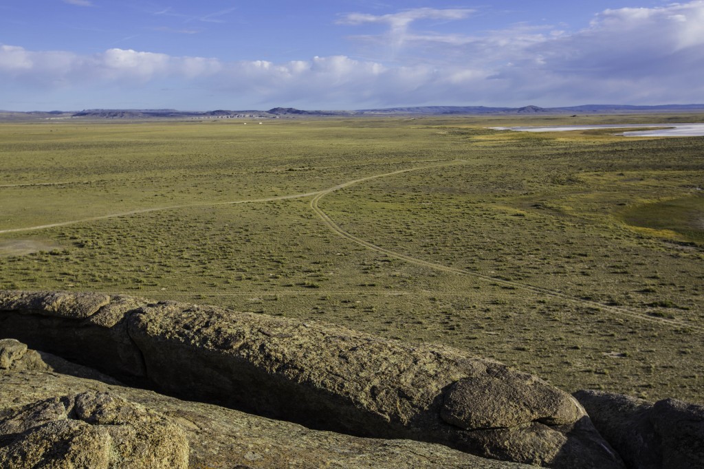
As you can see in this photo, the trail of the wagons is still visible. Again this is where all of the trails came together, so Thousands of wagons and people and carts went on this route. In a barren land, as this is, there is not much in the way of grass or trees to cover these tracks even after all this time.
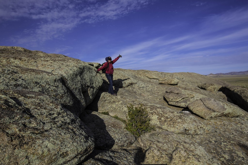
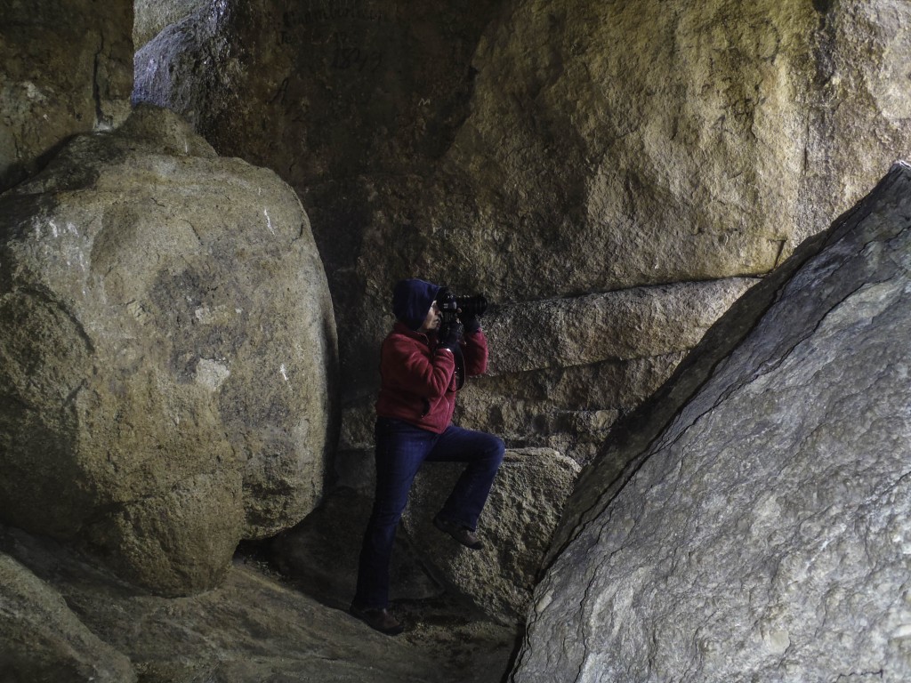
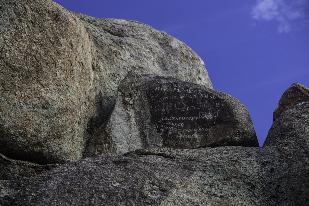
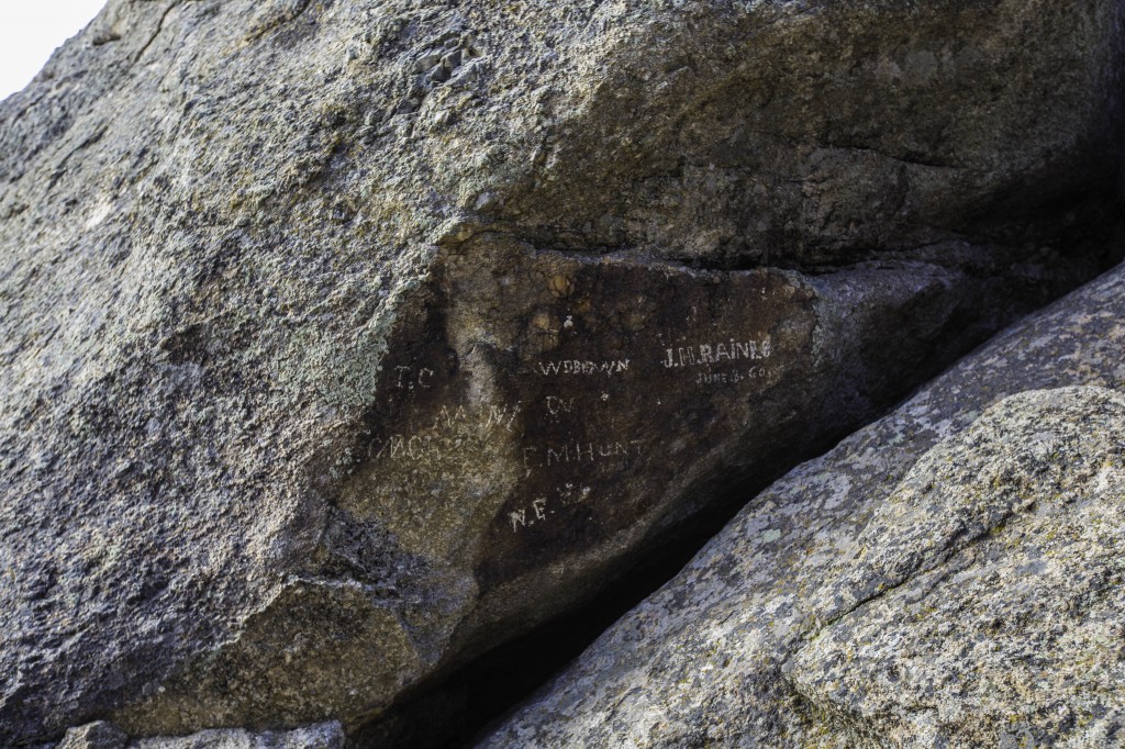
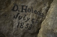
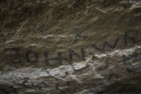
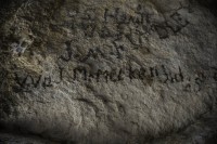
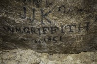
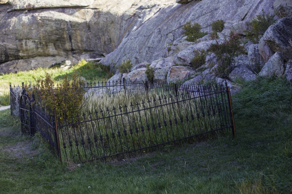
We too were determined when we arrived at Independence Rock. We wanted to find the cave or rock shelter that some of the emigrants hiked into, and while they found refuge from the elements, they signed or carved their names on the rocks inside this cave. On the sides and the ceiling of the cave, you will see where they left their marks. The used a variety of methods to do so. Some very carefully chiseled in a perfect typeset style, some carved roughly, and some who used the grease from their wagon wheels. All of which is protected from the elements in this rock room high above the ground. If you find this room, be careful where you put your hands or where you climb; this is a room of history that needs to be preserved. Most of the names are on the ceiling.. It’s these pioneers who are the reason some of us live where we do today.
The climb to this sheltered area is not an easy one, especially if you are short. But I was determined to see this place and both Mark, and I are glad we did.
Next place to explore is DEVIL’S GATE, MARTIN’S COVE and SPLIT ROCK
The link below takes you to a video of our travels on the Pioneer Trail.