We left Fairbanks after two frigid nights, heading for what “WeatherUnderground” said was a long stretch of wet weather ahead of us. Locals kept telling us it was unusual weather we were experiencing. Bouts of Cold and now lots of Rain.
We anticipated we’d find a few turnouts along the way to park for a night or two. This was not the case. The turn outs 15 miles from Denali and closer, had “No Camping” signs. It was getting to be late in the afternoon, and we were concerned about where we might park for the night. We knew we weren’t going into the park any further than Riley Creek due to the length of our motorhome. Forty feet is the maximum accepted up in the park campgrounds. The Visitor Center said there was NO Camping in any of the regular parking lots, emphasizing the fact that the Rangers would boot us out if we tried to stay there. Riley Creek was full, so we opted for an RV park 7 miles North of the Village. It was expensive, but with the upcoming weather forecast, we decided to stay there three nights during the high wind period. I’m glad we did because one night it was torrential rain.
The first evening we took the “15 mile” drive into the park and only saw two distant Caribou out in the flats just before the bridge.
The lighting wasn’t the best but, little did we know it was about to get worse.
At the 14 mile marker
We spent some time in the Visitor Center to learn about the various tours and facts about the park. I got my NP passport book stamped, and then we studied the tour options. We have read and were told if you take the bus tours in the park, you will almost be sure to see wildlife. Somehow, with the weather the way it was, contemplating a 4 or 7-hour + Bus tour didn’t sound enticing no matter how many bears you might view from the bus window. One day the wind was close to 17 mph plus cold rain most of the day.
The second day we took another drive into the park and had on and off rain the whole time. We spotted two caribou this time a bit closer to the road. Likely they were the same two we saw the day before. I climbed down onto an embankment off the highway to try to get a good shot, but they are just snapshots at best.
The Caribou Itch
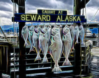
One afternoon we hit all the Tourist shops in the village and managed to leave quite a few dollars there to help support the short season that the merchants have. The season is only mid-May til mid-September. Lunch one day was at the Prospectors Pizza and Ale House. Several locals told us that they had the best Pizza in town. Well, in fact, that may be right because it is the ONLY place for pizza in Denali. Fifty-Three specialty Beers on Tap.
Mark ordered the Reindeer sausage and Elk burger Pizza, which was very good. Their pizzas are made to order and baked in a Brick Oven. The best feature about this establishment is the 100’s of photographs of historical people and events in Alaska. It doubles as a museum if you take the time to peruse the walls of all the memorabilia.
The Village of Denali
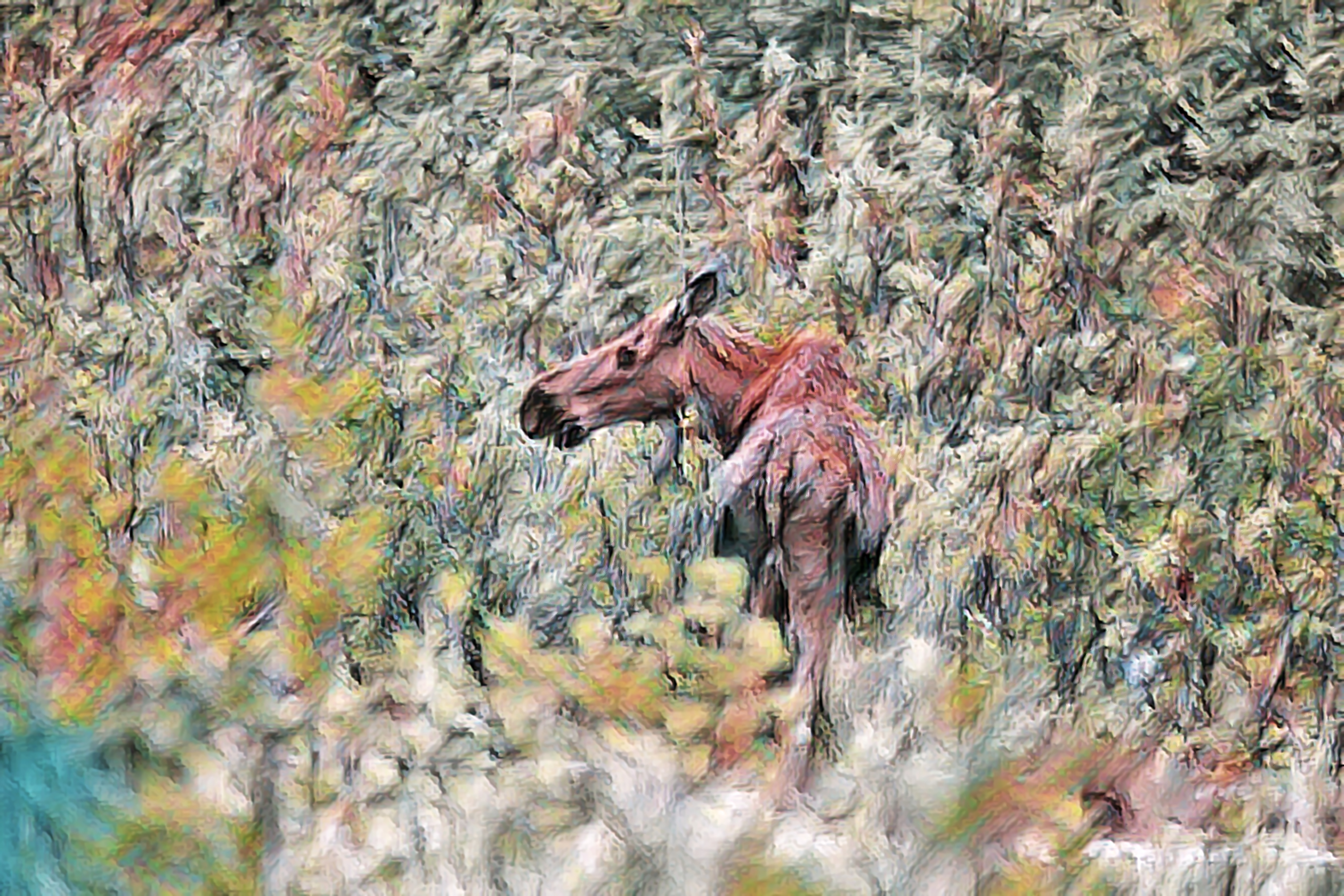
On two occasions we saw Moose in the park. I have not been lucky spotting very many species of wildlife on this trip so far, and when I do, they are alongside the road. Not my favorite type of picture. For me, it’s best to enjoy the moment and not race for the camera.
A couple of distance snapshots of a Cow Moose and her calf, hardly worth posting.
Calf moose
One day we packed a lunch and took a drive to Cantwell, AK. We fueled up the Jeep and headed down the Denali Highway. We know this was not a superhighway from the start. It is gravel most of the way to Paxon, 100 miles to the East.
It was indeed one of the side trips we have made that gave the feeling that you were in Alaska. The Vast open marshes and rugged towering snowcapped mountains defined Alaska as I had envisioned it to be. We drove 52 miles of this road and then back to the Parks Highway and back to Denali. A little sunshine would have been nice, but it was not happening today. We did get a glimpse of wildlife on our return trip, but it was one of those typical “Butt shots” I get a lot of those in our travels.
Porcupine Butt Shot
I’m glad we took this side trip. It was dreary most of the day, but the landscape was spectacular even without the sun shining. It passes through tundra, swampy areas, stretches of black spruce, rivers, and breathtaking mountain views.
The Denali Highway is gravel most of the way.
The Parks Highway north of Denali
One more trip into the park and the best we could do for wildlife was a couple of Snowshoe Hares, getting pretty bad when I have to post Rabbit pictures!
Show Shoe Hare
They gain their curious name from their large hind feet that are lined with stiff hairs that form a snowshoe, supporting their weight on the surface of the snow.
NPS photo
They blend in well with their surroundings because of their seasonal variation in fur color, from brown in summer to almost pure white in winter.
It turned out we had a great trail right behind our camp. It’s called Antler Trail. It began right at our site and went straight up. It’s a favorite hike in combination with the Bison Gultch Fork Trail. It’s about 8.4 miles from the bottom to the top of Mt Healy. We didn’t make it to the top.
We spent three nights at Denali and then decided it was time to make a break to the south because the weather was not getting any better and higher winds are predicted.
As we left the Denali park entrance, we found three great boondocking spots South of the park. I wish we would have seen them before we landed at the RV park but maybe someone else will find them from this post. These are the only pull off areas that not marked with no Camping signs that we saw. The locations of these riverside spots are 7.5, 15.1 and 16.7 miles from the Denali Park Entrance.
This photo was the view from one of them.
Boondock spot along the CHULITNA River
As we drove the Parks highway, it was evident that there was no way we would see “The Mountain” today. So I followed the route looking at the satellite imagery so I could only imagine the beauty to the right and left of us.
Weather turning Worse going South
We are on our way now to Trapper Creek. Thanks, Joe and Dona for the tip of the boondocking spot.