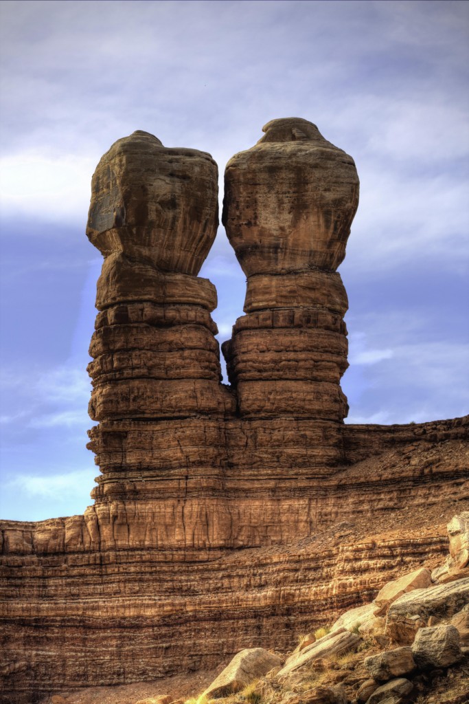
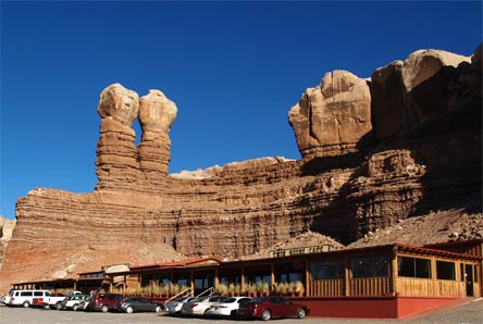
Bluff Utah lies in the shadow of the Twin Rocks, two massive sandstone towers or turrets. It’s a very small town (population about 320) but rich in pioneer history. The elevation is 4320’ so it was suitable for farming for the early settlers. At first glance, Bluff appears to be small and uninteresting little town. If you take the time to drive through the 2 main historic streets you will see many restored stone houses from the 1880’s. Antique wagons and tools can be seen adorning some of these very old but nicely restored homes.
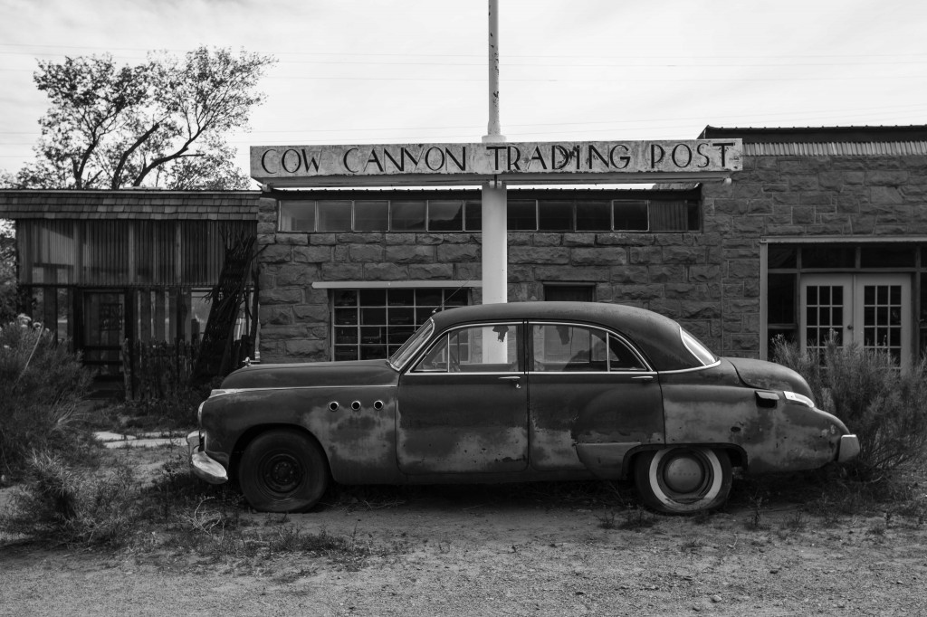
We strolled up to the Cow Canyon Trading Post and in the window were rows and rows of old typewriters. Too bad they weren’t open, but honestly I don’t think the doors have been open for many years.
This old car stood guard out front, I think it would like to be rescued by Richard Rawlings and his Fast and Loud crew and cruise down old route 66.
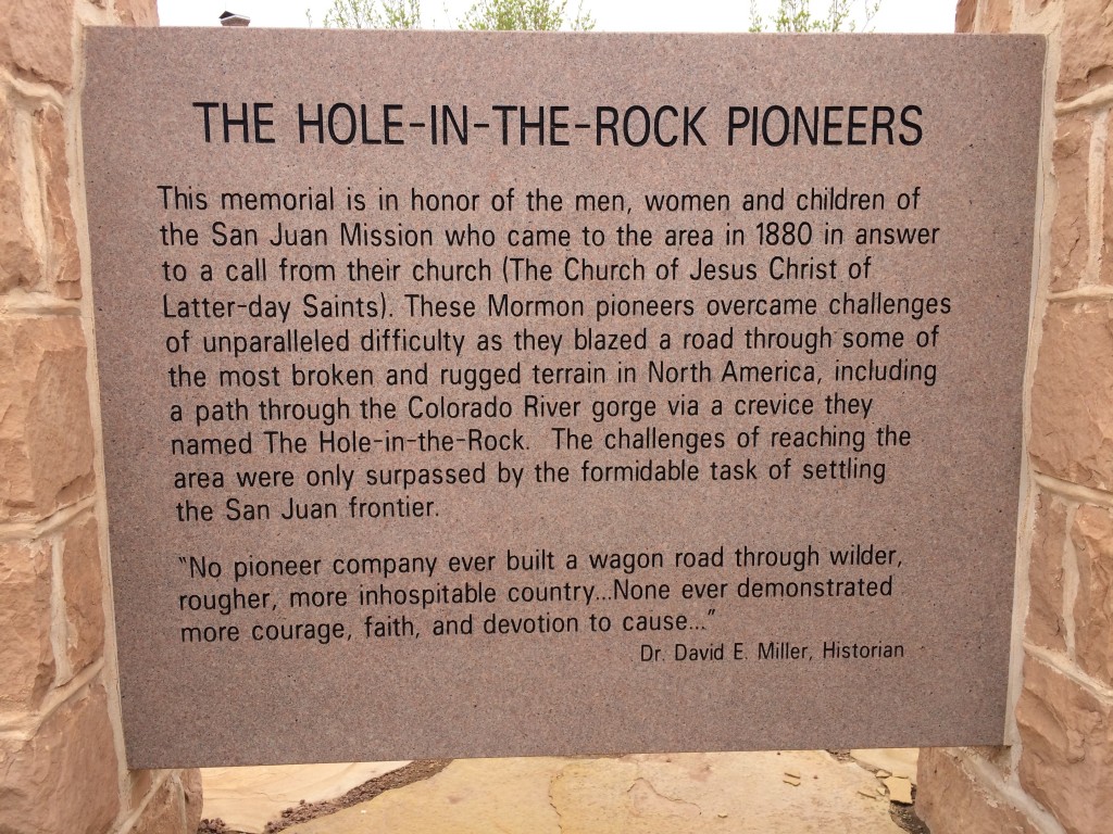
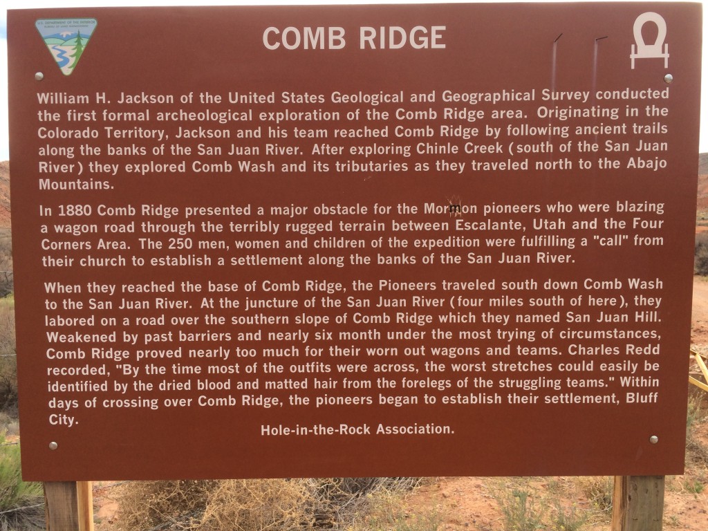
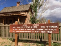
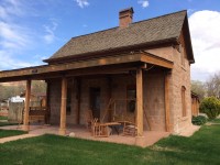
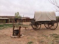
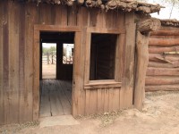
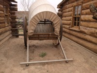
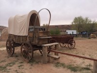
If you have about an hour, visit Ft. Bluff. Each of the restored log cabins, as well as the original log buildings has a recorded story about it’s respective family. Just to see the artifacts and antiques inside of each one is worth your time. In the museum/gift store, ask to see their films, beginning with the “Talking Wall” and ending with the incredible story of the Hole in the Rock Pioneers.
Click thumbnail for a larger picture:
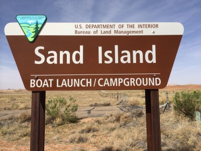
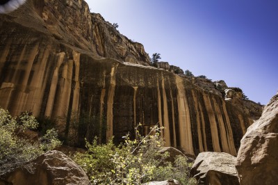
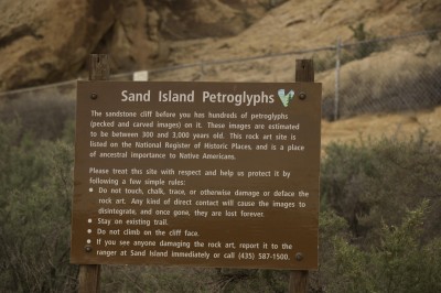
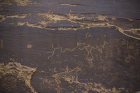
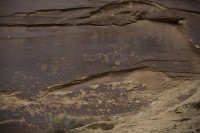
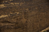
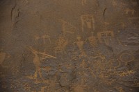
On the grounds of this campground are many Indian petroglyphs. Even if you don’t stay here, take a one mile detour off the highway and check out the petroglyphs all along the North wall of the campground. Located about 4 miles south of Bluff on the south side of the highway.
Click to enlarge these thumbnails:
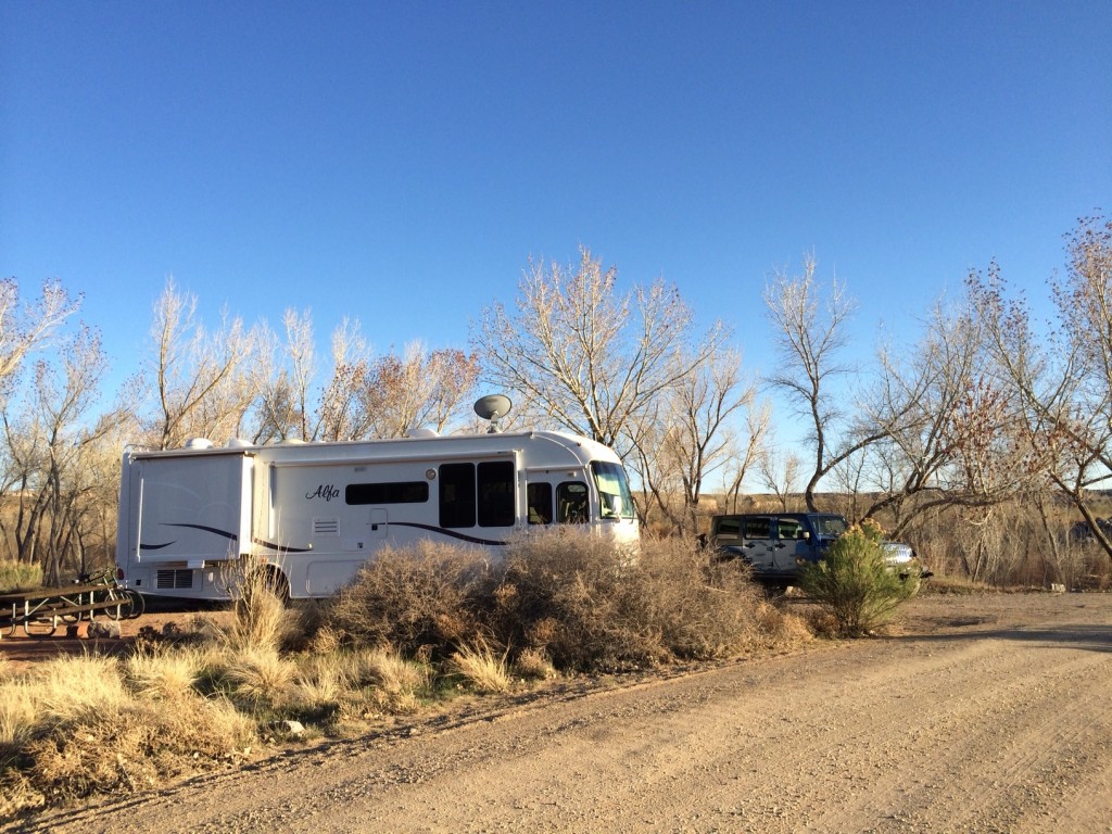
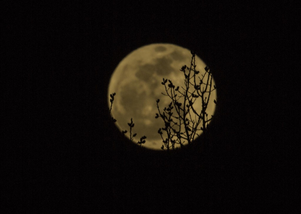
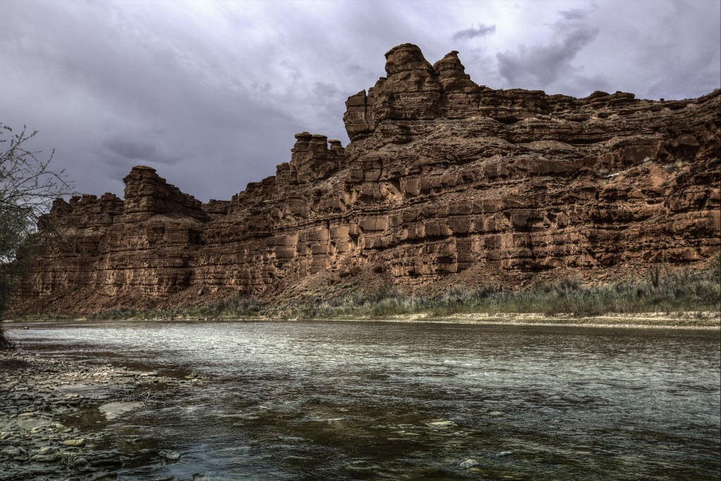
This is where we camped for a week. It’s a BLM camp ground, check it out if you want to find a spot to stay while you explore the Natural Bridges, Mexican Hat and Muley Point Areas. No hookups, No reservations and it fills up on weekends but $5.00 a night can get you some sites with river views and a very dark sky for star gazing. You can also sign up for a river rafting trip from here.
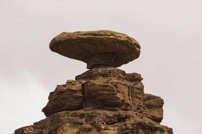
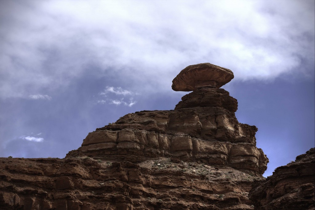
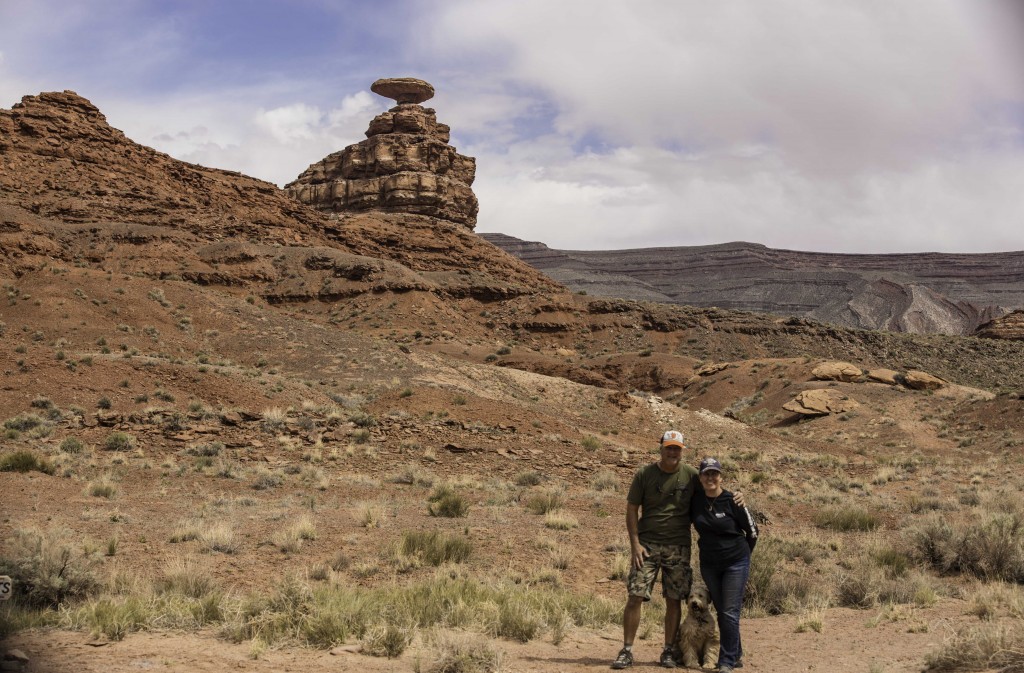
A few miles south we visited Mexican Hat. A sandstone formation that has eroded away leaving a sombrero shaped rock 60 feet wide and 12 feet thick resting on a 200 foot cliff. You can see this rock from quite a distance.
The town of Mexican Hat a few miles west, (population 88) has fuel, a couple of restaurants and two lodges, not much else.
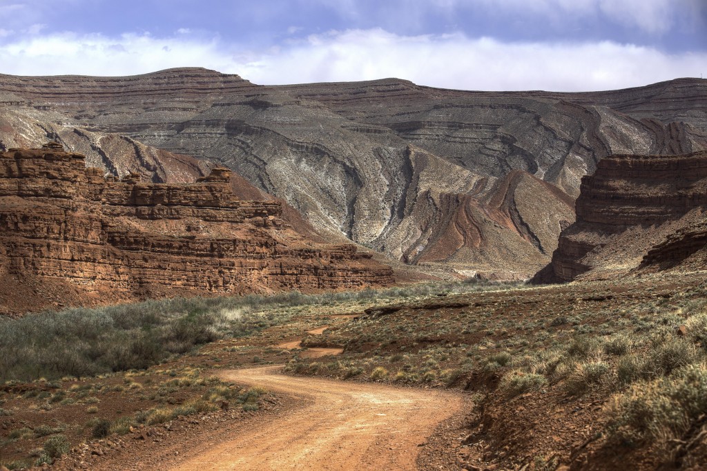
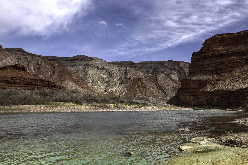
If you take the dirt road behind the rock for approximately 1.5 miles you will reach the end of this road and a nice look at the San Juan River up close. This is the same river we saw from 1000 feet up at the Goosenecks State Park. There is also a geocache on the back side of the sombrero rock appropriately named “Mexican Hat Geocache”
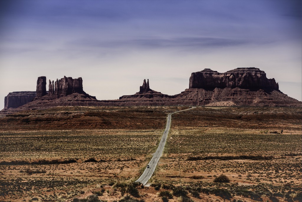
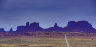
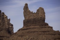
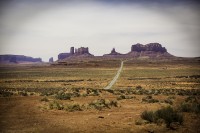
Since we were so close to Monument Valley, (48 miles from Bluff) we made the trip there one afternoon. It was overcast and windy that day so photos don’t really tell the story. It was worth the trip, but we’ll have to catch this spot again when the sun is out.
Click on Thumbnail for larger view:
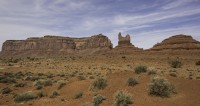
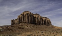
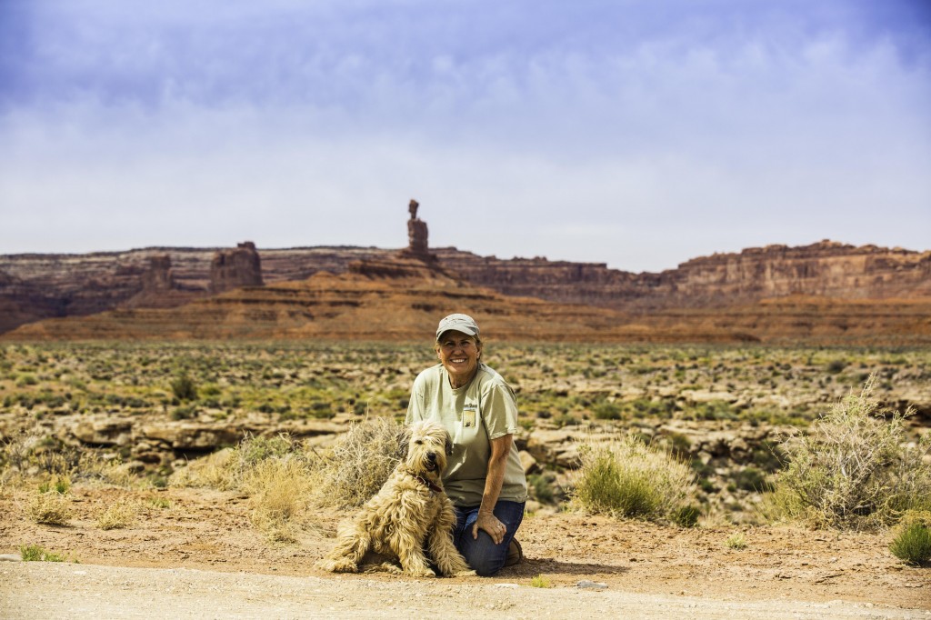
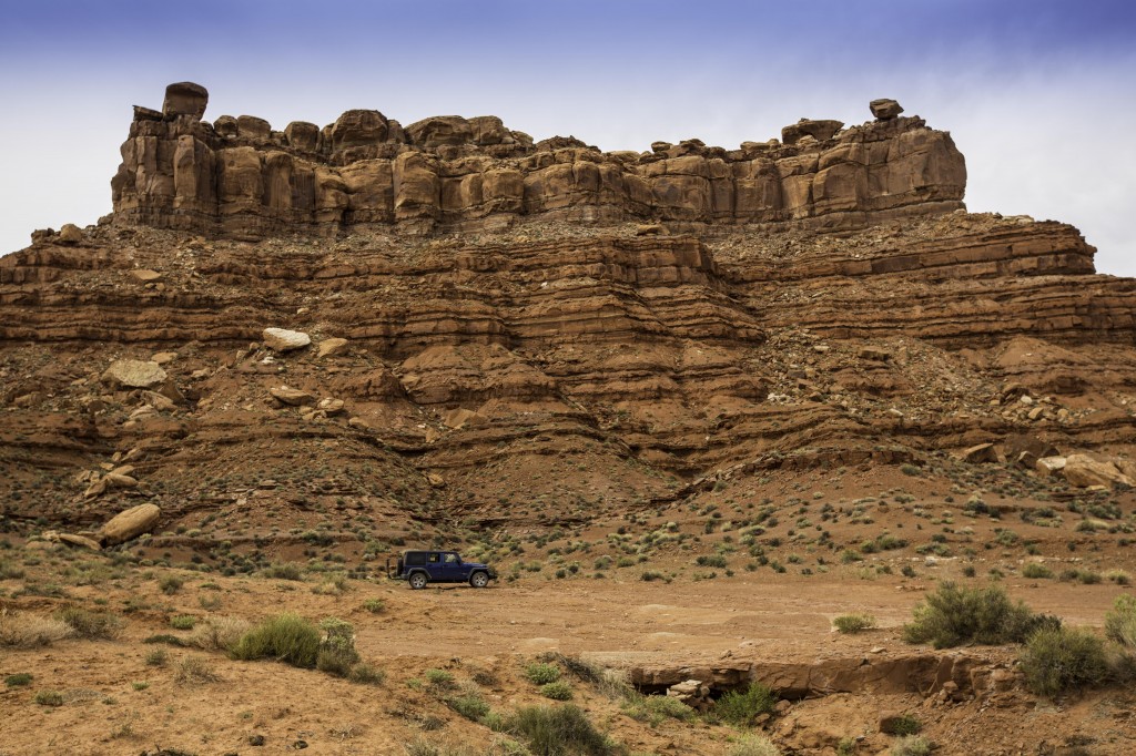
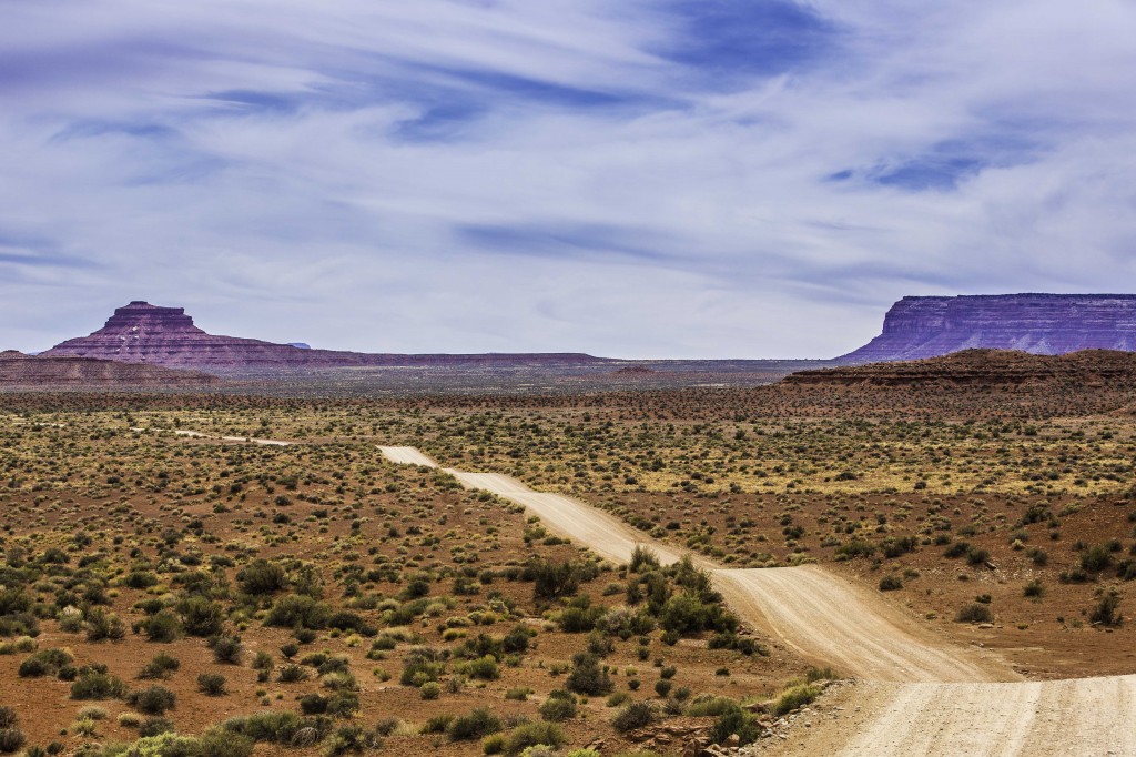
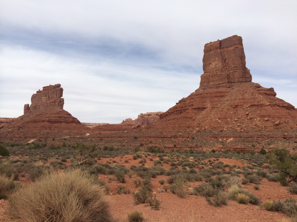
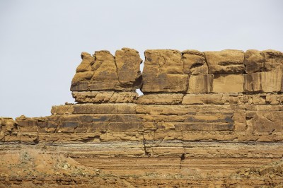
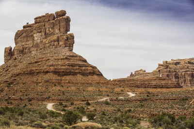
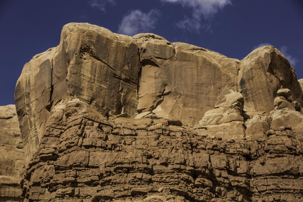
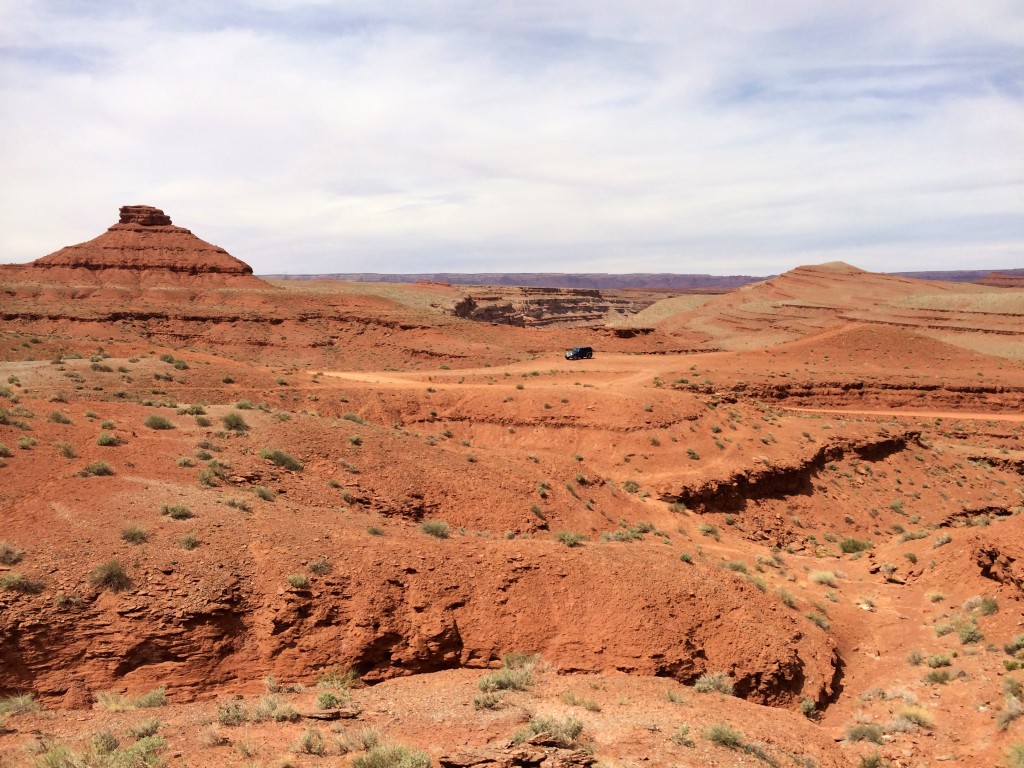
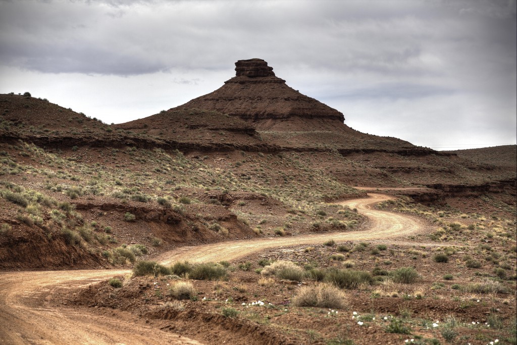
Another Not to be Missed trip is “The Valley of the Gods”. This loop actually thrilled me more than Monument Valley, but I’m sure that was because of the weather conditions while we were in Monument Valley. The road is gravel and rough in places but this is a 17 mile loop you would not want to take in a hurry anyway. You don’t need a high clearance vehicle, just take it slow. There are so many rock formations, monoliths and textured mesas, you may have to get out of the car multiple times to take a picture… I confess I had to stop about every mile or so. It took us over well 1.5 hours to make this loop. Don’t be fooled by these mediocre pictures, it is really amazing being there in person.
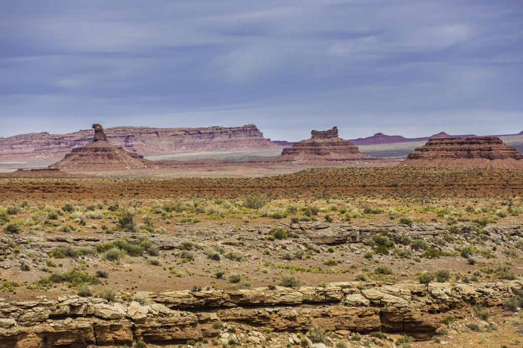
You can make the loop starting from highway 163 heading south west from Bluff, UT or traveling northeast from Mexican Hat; take the State Route 261 and head north 10 miles and make the right turn at the sign for Valley of the Gods, just before the Moki Dugway begins.
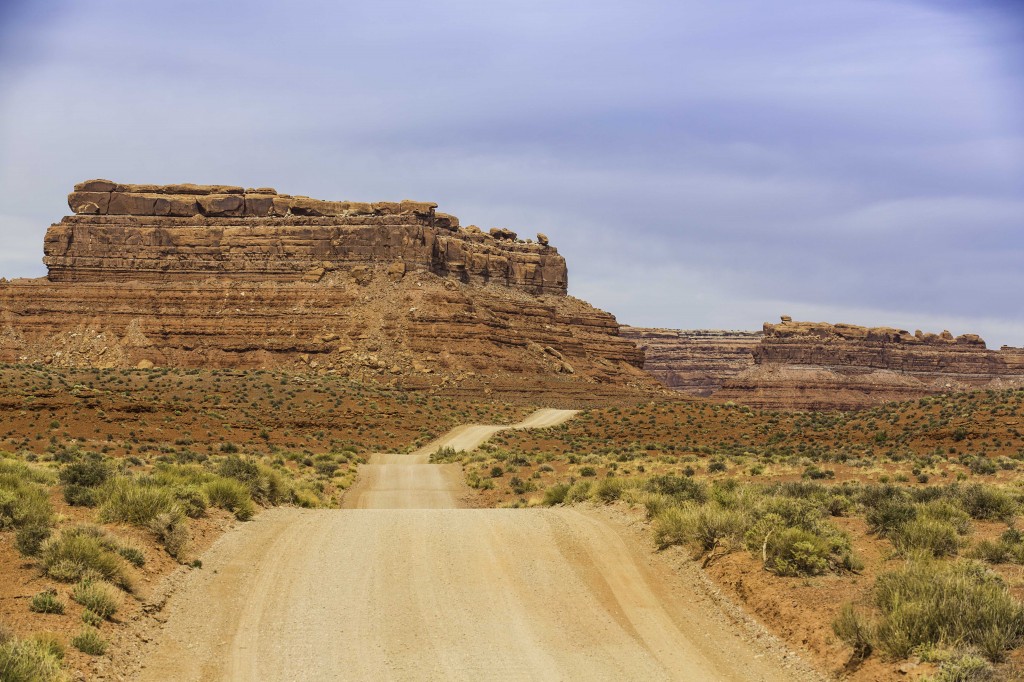
The rock formations on this loop are incredible. If you have a small camper or a travel trailer you can access some pretty scenic places to camp along this road. Be sure, However, to enter on the East Entrance (toward Bluff) It’s a little rough just as you enter the dirt road from the highway, but not bad after that. (No Motorhomes here until they repair the entrance road.) You will see pull out camp spots within the first mile, and about 4- 6 miles further north you can camp right against the tall mountains on the right side of the road. This is BLM property.